What is recorded here
In a rath (MA039-074001-). This record refers to a stone slab which was found in 1953 by R. B. Aldridge lying flat in the centre of the rath. He compiled brief notes and measurements, accompanied by a sketch which show an irregular shaped stone (L 3'6" [c. 1m]; Wth 3'1" [0.9m]; T 10" [0.2m]) with a circle (diam. 2' 2" [0.65m]) incised on one face (unpublished NMI Topographical Files/SMR file). The stone was not found during a 1996 inspection of the rath.
Compiled by: Jane O’Shaughnessy
Date of upload: 1 April 2020
The monument record does not grant public access. Check the route and ask the landowner before entering private land.
- What survives
- Recorded monument
Places near here
 Enclosure in CorroyEnclosure · 352 yd
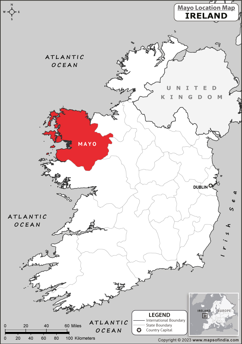 IndicatedFairy fort / earthen ringfort · 857 yd
 Gull IslandIslet · 941 yd
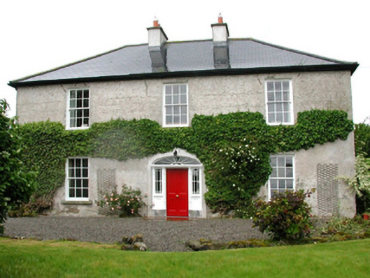 Barnfield Housefarm house · 1004 yd
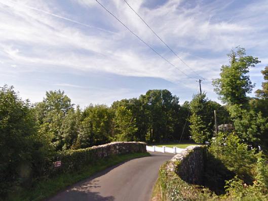 bridgebridge · 1085 yd
 Castle (in ruins)Castle, unclassified · 1.2 mi
 Cloghans CastleCastle, tower house · 1.5 mi
 Battle of Ballinabattle · 3.9 miHumbert MonumentMemorial · 4.0 mi
 Roe IslandIslet · 4.3 mi
 Drummin ForestForest · 5.0 mi
 Titanic Memorial ParkMemorial · 6.2 mi