What is recorded here
On a gentle N-facing slope and on the S side of the Athleague-Athlone road (R362). This is part of the wayside cross (RO041-077001-). An inscribed limestone slab with the name 'Kelly' and the date 1643 was kept at the cross but was moved to a nearby house (RO041-112----). (Siggins 1986b, 34)
Compiled by: Michael Moore
Date of upload: 24 August 2010
The monument record does not grant public access. Check the route and ask the landowner before entering private land.
- What survives
- Recorded monument
Places near here
 Stone CrossCross, Wayside cross · 1 yd
 European Crab AppleEuropean Crab Apple · 190 yd
 IndicatedFairy fort / earthen ringfort · 877 yd
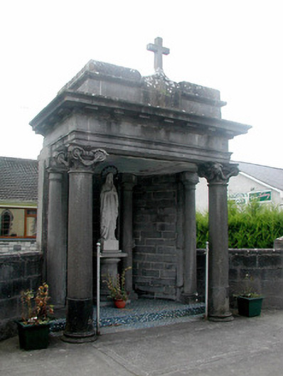 shrine/oratory/grottoshrine/oratory/grotto · 1510 yd
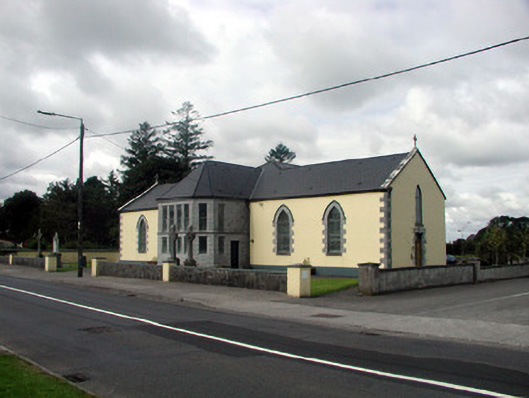 Saint Patrick's Catholic Churchchurch/chapel · 1553 yd
 CastleHouse, fortified house · 1.1 mi
 TogherfinnForest · 3.4 mi
 Sally IslandIslet · 3.7 mi
 Castle KellyCastle, tower house · 4.0 mi
 Inchnaveague IslandIslet · 4.9 mi
 Mount MaryMountain / peak · 6.3 mi
 Site of Killomaine Grave YardArchaeological place · 11 mi