
What is recorded here
Inishnakillew is a small islet in Lough Conn, County Mayo, carrying an unidentified ritual or ceremonial earthwork that has resisted formal documentation despite its clear archaeological significance. The lake isolates the site from modern disturbance, preserving what mainland fields and roads would have erased, while the unknown shape of the work hints at enclosure, ceremony, or settlement rather than ordinary domestic use. Its absence from public record does not diminish it; it suggests that Inishnakillew still belongs more to memory, landscape and local knowledge than to administrative certainty.
Inishnakillew is recorded as a islet in County Mayo. Its open map record supplies this location and any linked names or public references.
Inishnakillew is a small islet located off the coast of County Mayo, Ireland. It is notable for its inclusion in historical and geographical records, though little is known about its permanent inhabitants or specific historical events tied to the island.
Places near here
 Carrigeenglass NorthIslet · 463 yd
 Ross PointHeadland · 1006 yd
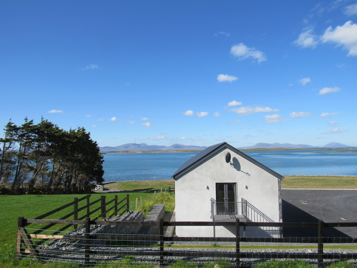 InishcottleIslet · 1053 yd
 IndicatedFairy fort / earthen ringfort · 1.1 mi
 Church (in Ruins)Church · 1.1 mi
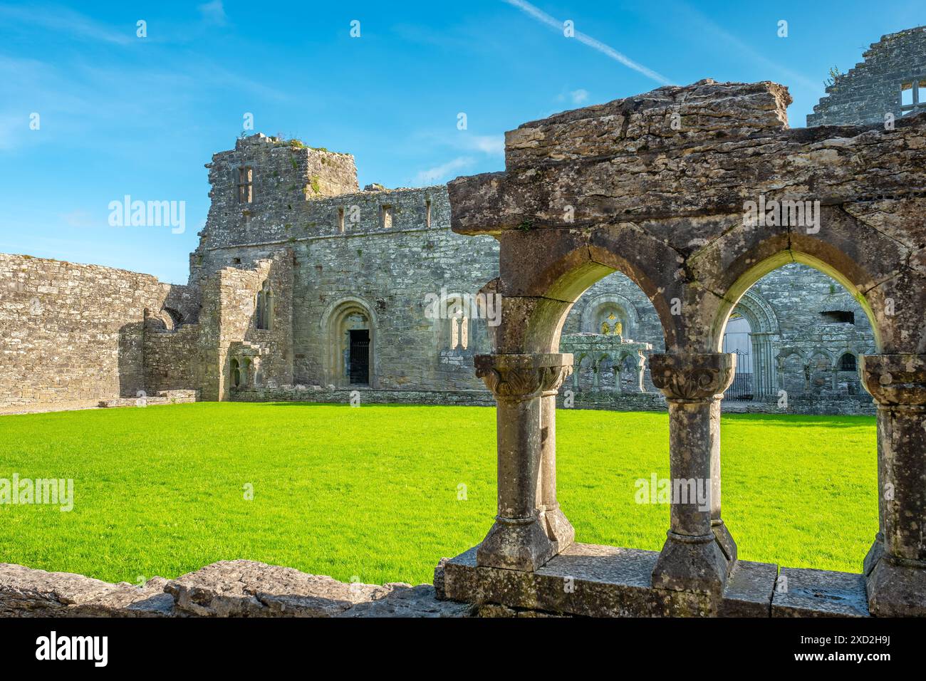 Enclosure in RassakeeranEnclosure · 1.2 mi
 Roscahill PointHeadland · 1.2 mi
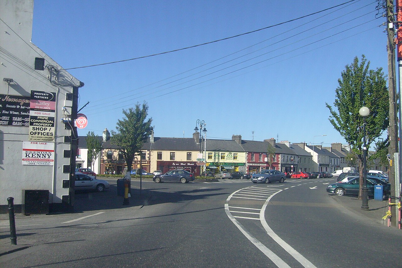 Caslte LeaffyCastle · 1.3 mi
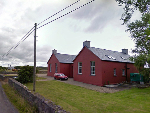 Saint Brendan's National Schoolschool · 1.5 mi
 Site of Bawn CastleCastle, unclassified · 3.1 mi
 Barrett's HillMountain / peak · 3.8 mi
 Barrett's WoodWood · 3.9 mi
Other information
Photo: Kieran Campbell · CC BY-SA 2.0