Places near here
Photo credits
- National Inventory of Architectural Heritage
- Thielfer, Wikimedia Commons · CC BY-SA 4.0
- Kenneth Allen, Geograph · CC BY-SA 2.0
- Dean Molyneaux, Geograph · CC BY-SA 2.0
- Golfing in Ireland; photographer not stated, Source publisher
- N Chadwick, Geograph · CC BY-SA 2.0
- eireialcreations / Dronestagr.am; Eireial Creations watermark on photograph, www.dronestagr.am
- louise price, Wikimedia Commons · CC BY-SA 2.0
- louise price, Geograph · CC BY-SA 2.0
- louise price, Wikimedia Commons
- Kay Atherton, Geograph · CC BY-SA 2.0
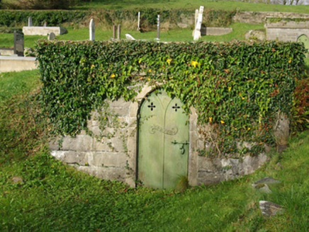 Thompson MausoleumMausoleum · 1.3 mi
Explorer Tom Thompson Mausoleum has a pointed stone doorway and a metal door marked with the family name. The Hamilton vault nearby…
 Hamilton MausoleumMausoleum · 1.3 mi
Explorer Tom Hamilton Mausoleum has a metal door with pierced floral motifs that look like they are trying to bloom through the…
 MurvaghOfficial bathing water · 1.9 mi
Explorer Tom Murvagh is the Donegal beach that seems to have brought a whole forest along for company. You cross toward the dunes…
 RossnowlaghOfficial bathing water · 2.2 mi
Explorer Tom Rossnowlagh seems to have decided that four kilometres of sand is the minimum space a person needs to think properly.…
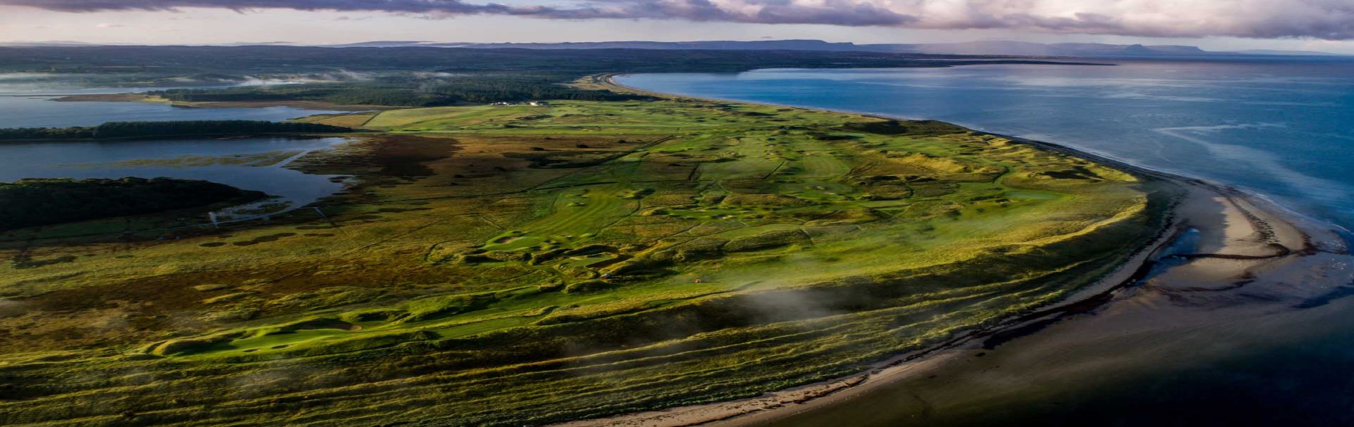 Donegal Golf ClubGolf course · 2.5 mi
 Salthill CabinCafé · 3.5 mi
Explorer Tom Salthill Cabin near Mountcharles is likely just a shed with a coffee machine and serious delusions of grandeur. It’s in…
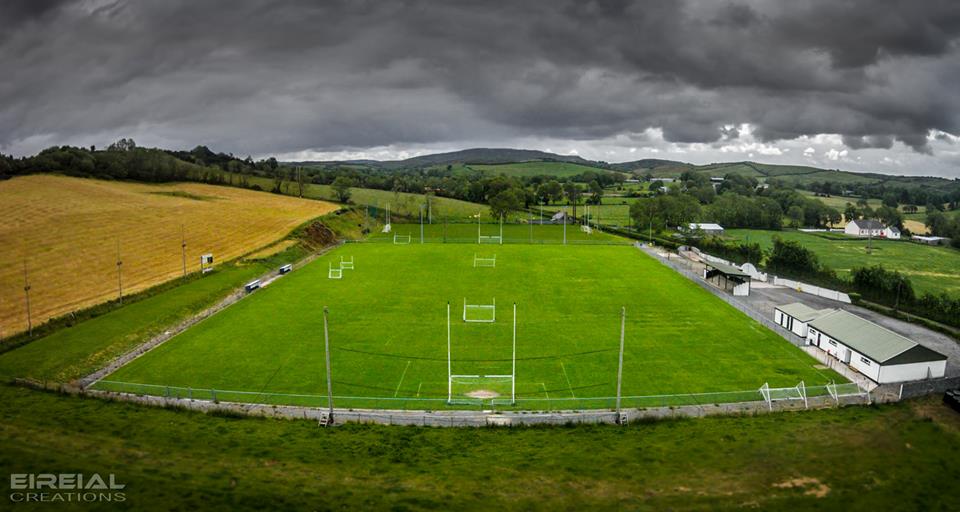 Páirc Naomh Bríd, Naomh Brd GAA, Ballintra/LagheyGAA ground · 3.7 mi
 Kilbarron Castle in ruinsCastle, tower house · 4.0 mi
Explorer Tom Kilbarron Castle in ruins clings to a precipitous promontory, where the O'Clerys rebuilt their stronghold after 1390. I…
 Dark Cliffs at KilbarronPublicly named cliff or headland · 4.0 mi
Explorer Tom Dark Cliffs at Kilbarron would absolutely complain to the council about tourists not knowing their place, and honestly…
 White HillMountain / peak · 4.2 mi
Explorer Tom White Hill in County Donegal is all about meadow, farm, and a big sky stretching out forever. It’s a gentle giant that…
 Creevy Coastal WalkOfficial walking route · 4.4 mi
Explorer Tom Creevy Coastal Walk begins at a pier and soon puts Donegal Bay on magnificent display, with a clifftop path that…
 Creevy Pier HotelHotel · 4.4 mi
Explorer Tom Creevy Pier Hotel suggests you're staying on a pier that might wobble dangerously in high tide, with the 'hotel' part…
More archaeology and monuments in County Donegal · All of County Donegal

What do you know about this place?Tap to add a comment or ask a question