What is recorded here
This blue commemorative plaque records: Ingram Square. Shops and flats formed from older houses and warehouses. 1984-1989. Recorded plaque organisation: Merchant City Trail.
Places near here
Photo credits
- Ian Wilson, Wikimedia Commons · CC BY-SA 2.0
- G McK, Wikimedia Commons · CC BY-SA 2.0
- Maker not stated on source page, www.encirclephotos.com
- Peter McDermott, Wikimedia Commons · CC BY-SA 2.0
- Thomas Nugent, Wikimedia Commons · CC BY-SA 2.0
- Maker not stated on source page, www.dreamstime.com
- Frombowen, Wikimedia Commons · CC BY-SA 4.0
 Central Station Glasgow 6pm ThursdayHeritage place · 822 yd
 Central Station, GlasgowHeritage place · 846 yd
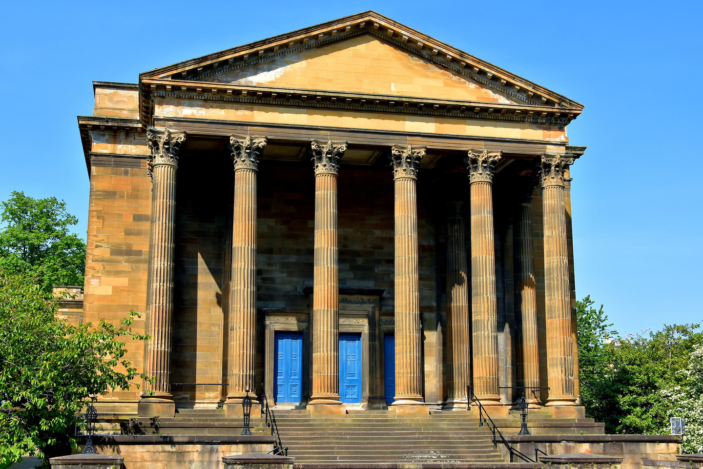 Glasgow, 79 Wellington Street, Former United Presbyterian ChurchChurch (early 19th Century) - (late 19th Century) · 970 yd
 Glasgow, Waterloo Street, GeneralGeneral View · 974 yd
 Glasgow, Wellington Street, Hengler's CirqueTheatre · 989 yd
 Glasgow, West Campbell Street, Clydesdale BankBank (financial) (19th Century) · 1037 yd
 Glasgow, Kingston Street, WorksWorks · 1182 yd
 War MemorialMemorial · 1186 yd
 Co-operative Memorial BuildingMemorial · 1190 yd
 Glasgow, 9 Heddle Place, Anderston United Presbyterian Relief ChurchBurial Ground (mid 19th Century) - (mid 20th Century), Church (mid 19th Century) - (mid 20th Century) · 1549 yd
 Art Deco towerCastle, fort or tower · 1664 yd
 Cheapside Street Whisky Bond FireStructure fire · 1665 yd

What do you know about this place?Tap to add a comment or ask a question