What is recorded here
From the National Monuments Service (Archaeological Survey of Ireland) record WI013-002
The monument record does not grant public access. Check the route and ask the landowner before entering private land.
- What survives
- Recorded monument
Places near here
 Glen of the DownsNature reserve · 558 yd
 The OctagonRuins · 829 yd
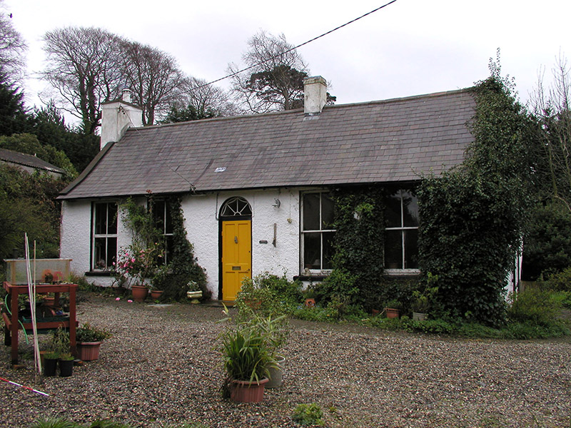 Drummin LodgeHouse · 1074 yd
 Kindlestown Castle (in ruins)Castle, hall-house · 1.2 mi
 Tuliptree1.2 mi
 Great SugarloafMountain / peak · 2.2 mi
 Great Sugar LoafMountain · 2.2 mi
 The Sugar Loaf WayWalking route · 2.2 mi
 Grave YardGraveyard · 2.7 mi
 Deerpark TrailWalking route · 3.8 mi
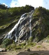 Powerscourt WaterfallWaterfall · 4.2 mi
 Cross4.5 mi
Pictures: Klondikeger, Wikimedia Commons · CC BY-SA 4.0; TRIO78, Wikimedia Commons · CC BY-SA 4.0; National Inventory of Architectural Heritage; Aoifer, Wikimedia Commons · CC BY-SA 4.0; Jean-Pol GRANDMONT, Wikimedia Commons · CC BY 3.0; Alan James, Geograph · CC BY-SA 2.0; Sarah777 at English Wikipedia, Wikimedia Commons · Public domain; Carroll Pierce, Geograph · CC BY-SA 2.0; A.-K. D., Wikimedia Commons · CC BY-SA 4.0; Simon Mortimer, Geograph · CC BY-SA 2.0; Draceane, Wikimedia Commons · CC BY-SA 3.0; Seanief1, Wikimedia Commons · CC BY-SA 4.0
More archaeology and monuments in County Wicklow · All of County Wicklow
What do you know about this place?