What is recorded here
Situated towards the top of a NE-facing slope overlooking the mouth of the Tay River, with Stradally Cove c. 200m to the E, and known locally as the site of a ‘lios’. It was described in 1981 as an oval grass-covered area (dims. 27m E-W; 22m N-S) defined by a yellow ring of clay which is only visible when ploughed (SMR file).
The above description is derived from the published 'Archaeological Inventory of County Waterford' (Dublin: Stationery Office, 1999). In certain instances the entries have been revised and updated in the light of recent research.
Compiled by: Michael Moore.
Date of upload/revision: 27th September, 2011.
The monument record does not grant public access. Check the route and ask the landowner before entering private land.
- What survives
- Recorded monument
Places near here
 Man-made underground passage in Woodhouse (decies Without Drum By., Stradbally Par.)Man-made underground passage · 234 yd
 IndicatedBridge · 406 yd
 Stradbally CoveBeach / strand · 420 yd
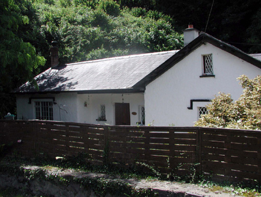 Cove Lodgehouse · 476 yd
 StradballySettlement cluster · 1053 yd
 Stradbally Geological SundialHeritage attraction · 1135 yd
 Grange WellSpring · 1.8 mi
 Castle (in ruins)Castle, unclassified · 2.0 mi
 Bawn in Castlequarter (decies Without Drum By., Kilrossanty Par.)Bawn · 2.5 mi
 Ballydowane CoveBeach / strand · 2.7 mi
 Trá na mBóVisitor information · 4.0 mi
 Bunmahon Miners' CottagesVisitor information · 4.3 mi