What is recorded here
Located within an enclosure (MA038-017----). On the 1838 OS 6-inch map a circular feature or possible enclosure (diam. c. 20m) is shown within the S half of a large subcircular enclosure (MA038-017----). It is shown abutting or possibly sharing the bank at SE–S of the larger enclosure (diam. c. 60m). The larger enclosure is extant, but there is no surface trace of the smaller possible enclosure.
Compiled by: Jane O'Shaughnessy
Date of upload: 17 July 2019
The monument record does not grant public access. Check the route and ask the landowner before entering private land.
- What survives
- Recorded monument
Places near here
 Castle Kelly (in Ruins)Castle, motte · 654 yd
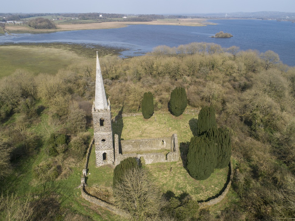 Church in Inishlee IslandChurch · 1620 yd
 Castle Gorewalled garden · 1686 yd
 CastleCastle, tower house · 1704 yd
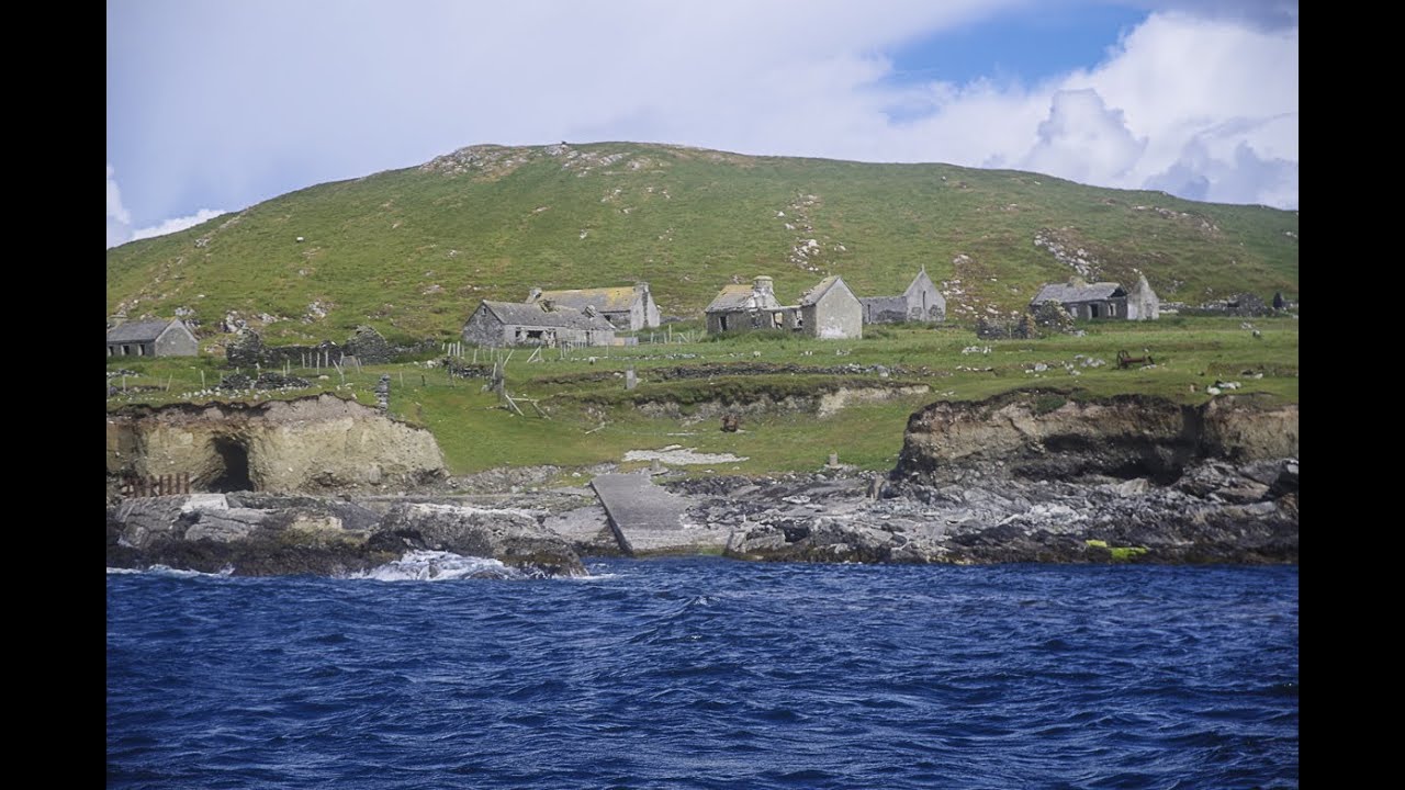 IndicatedFairy fort / earthen ringfort · 1.0 mi
 Dermot & Graine's BedArchaeological place · 1.3 mi
 Roe IslandIslet · 2.1 mi
 Castle IslandIslet · 2.2 mi
 Battle of Ballinabattle · 4.1 mi
 Grave of the KingsArchaeological place · 4.3 miHumbert MonumentMemorial · 4.6 mi
 Belleek WoodsWood · 5.5 mi