What is recorded here
Indicated is a tree-ring on the south slope of a Mayo ridge, marked on the 1838 map as an unenclosed circle and later measured at thirty to thirty-five metres across. It belongs to the Westport House estate, where deliberate planting shaped the land rather than chance growth. A second ring sits two hundred and thirty metres west, suggesting a repeated gesture across the pasture. The circles may have guided eyes, measured shadow or simply pleased the people who walked that ridge.
In pasture, located on the S slope of an E-W ridge, on land that was formerly part of the Westport House estate. Shown on the 1838 OS 6-inch map as an unenclosed circular ring of trees, and on later editions as a sub-circular enclosure (diam. 30-35m) planted with trees. Field investigation determined it to be a tree-ring. Another tree-ring (MA076-029----) is located c. 230m to W.
Compiled by: Jane O'Shaughnessy
Date of upload: 13 July 2015
The monument record does not grant public access. Check the route and ask the landowner before entering private land.
- What survives
- Recorded monument
Places near here
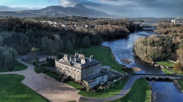 IndicatedFairy fort / earthen ringfort · 361 yd
 Barrett's HillMountain / peak · 1269 yd
 Enclosure in Westport Demesne (burrishoole By.)Enclosure · 1329 yd
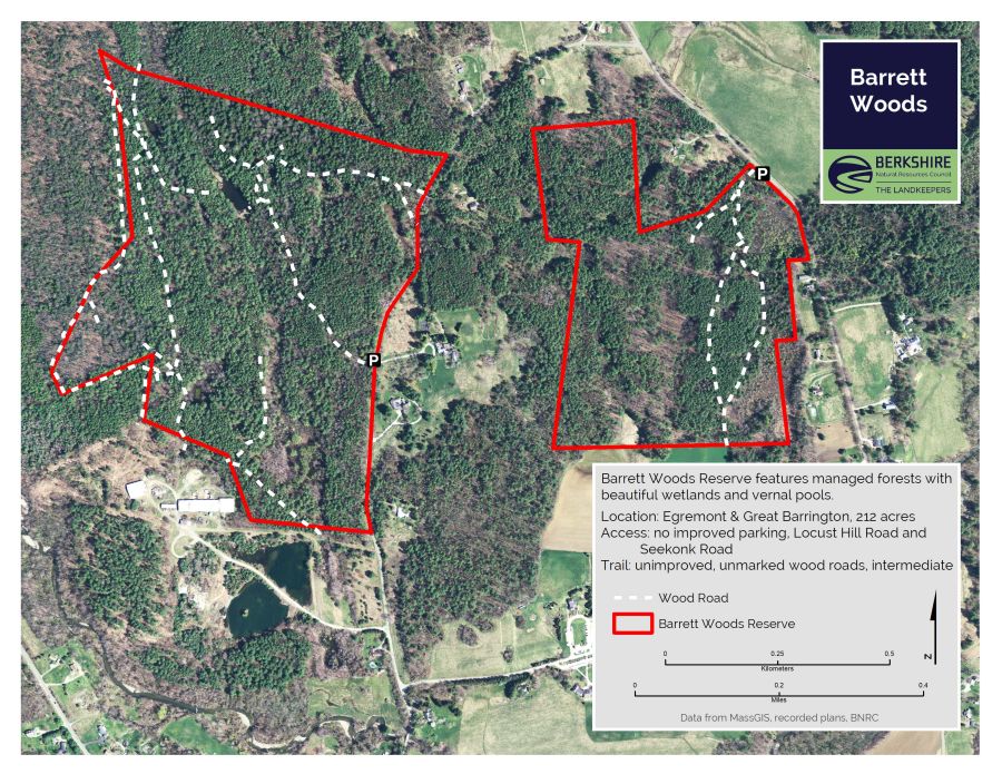 Barrett's WoodWood · 1389 yd
 Site of Bawn CastleCastle, unclassified · 1646 yd
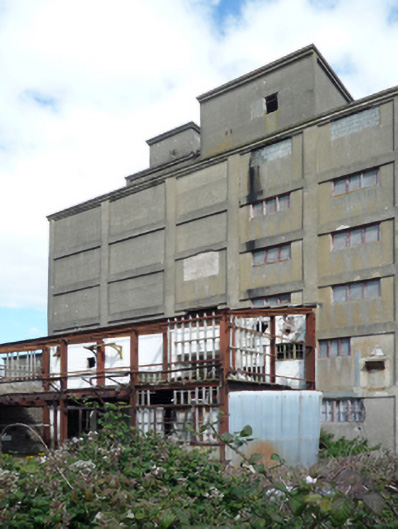 store/warehousestore/warehouse · 1749 yd
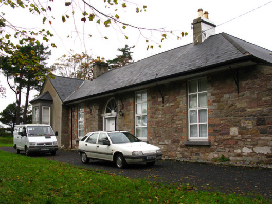 Barley Hillfarm house · 1.0 mi
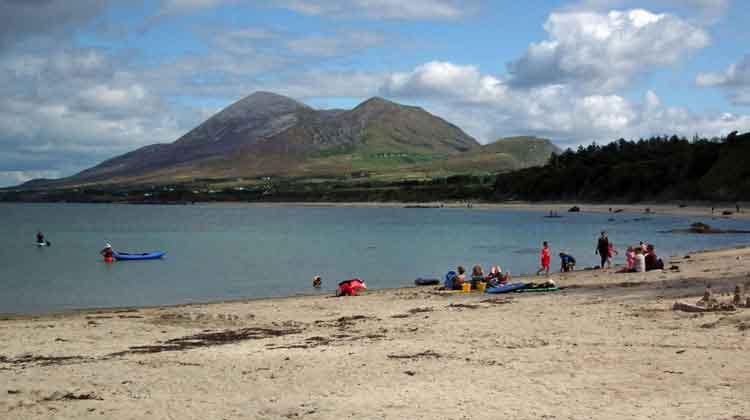 Garvillaun PointHeadland · 1.0 mi
 Clew Bay Heritage CentreMuseum · 1.1 mi
 Pirate QueenHeritage attraction · 1.5 mi
 BaldcypressBaldcypress · 1.6 mi
 Caslte LeaffyCastle · 1.8 mi