
What is recorded here
In pasture, located on the level, narrow top of a steep-sided E−W ridge, just to W of the highest point on the ridge. The ridge is named ‘Knocknageeragh’ on the 1838 and 1929 OS 6-inch maps. This rather high and exposed location provides extensive views of the surrounding hilly terrain. The Nephin Beg range defines the far horizon at NW−N, with Nephin Mountain prominent at N. To SW the ridge has views of part of Clew Bay, bordered by the dramatic silhouette of Croagh Patrick. The N-facing slope of the ridge falls into a flat-based valley of wettish ground, bordered at N by a parallel ridge. Immediately to the S of the ridge, there is a somewhat smaller, steep-sided ridge, which is named ‘Barrett’s Hill’ on the 1929 OS 6-inch map, with a narrow pass separating the two ridges.
This enclosure is not indicated on the 1838 and 1929 OS 6-inch maps. It consists of a very slightly raised, roughly circular area (c. 22m E−W; 23m N−S) defined by a scarp, and enclosed by a fosse with an external bank. The enclosing elements are best preserved on the W half, but are barely discernible elsewhere. A later field bank (Wth 1-1.2m; H 0.4m), on a roughly N−S axis, bordered on its E side by a shallow ditch, cuts across the E edge of the enclosure.
The scarp (H 0.65m), which defines the central platform has a broadly-slumped external slope at SW−NW; it is levelled to a low rise at N and S, and is truncated by the field bank at E. On the W arc, the fosse (Wth c. 3m, 2m base) is shallow, but clearly defined, and the external bank is evident as a low broadly slumped rise or undulation (Wth 3.3m; int. H 0.2-0.3m; ext. H 0.1-0.2m); both are barely discernible at N and S. At E the shallow ditch which borders the field bank cuts across the fosse. The external bank is entirely levelled at NE−SE. A linear cluster (L 6m N−S) of stones lies just to E of the enclosure. It may represent remnants of the levelled external bank, or could simply be field clearance debris.
The interior is level. A roughly triangular-shaped stone (granite) (L 0.48m N−S; T 0.35m; H 0.35m) juts from the ground in the SW quadrant.
Compiled by: Jane O'Shaughnessy
Date of upload: 12 February 2018
The monument record does not grant public access. Check the route and ask the landowner before entering private land.
- What survives
- Recorded monument
Places near here
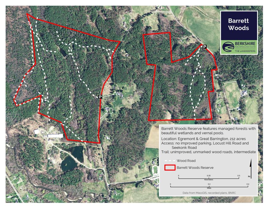 Barrett's WoodWood · 327 yd
 IndicatedFairy fort / earthen ringfort · 372 yd
 Barrett's HillMountain / peak · 469 yd
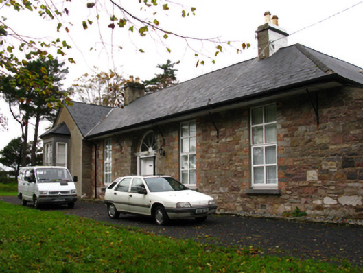 Barley Hillfarm house · 621 yd
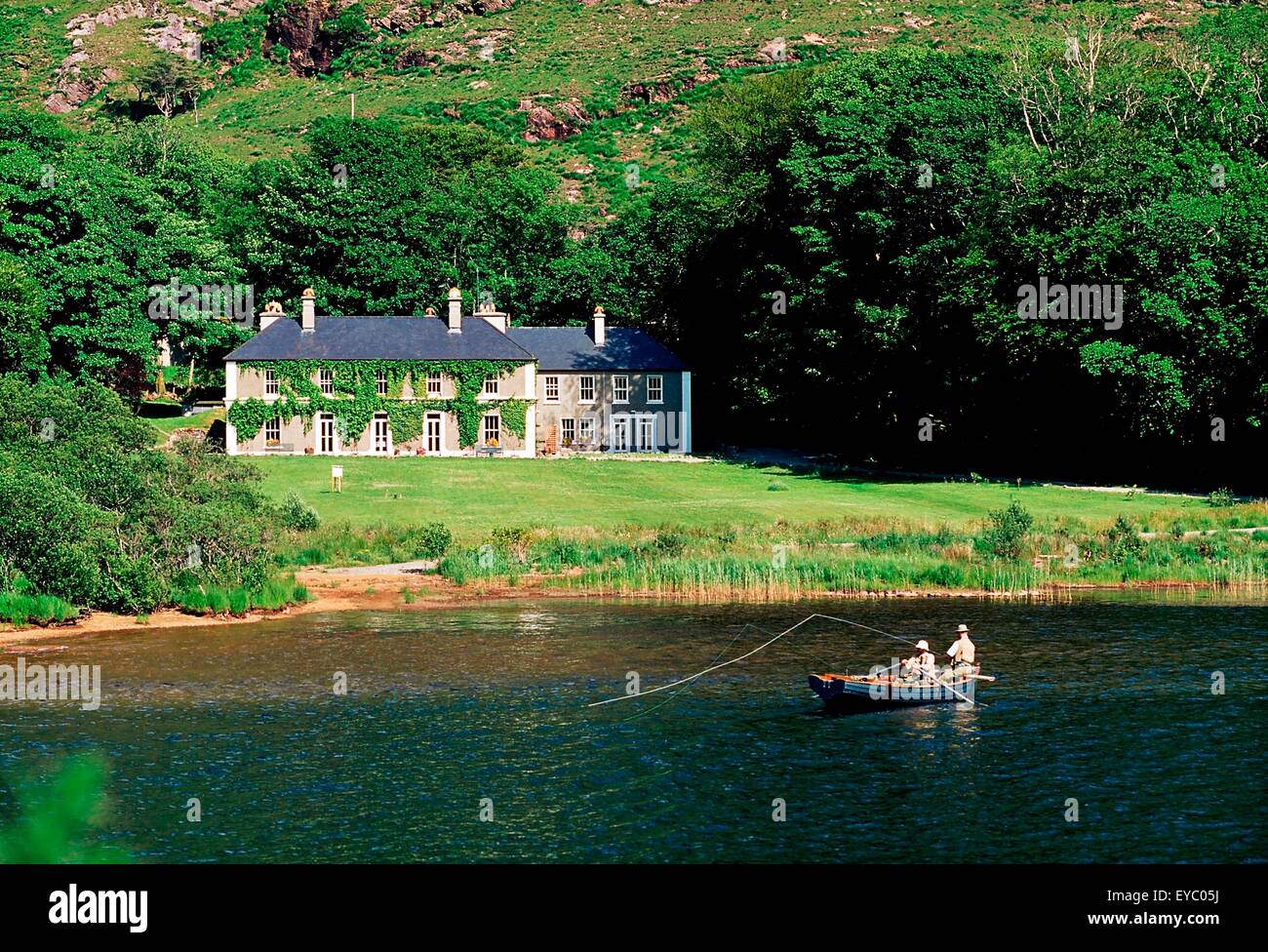 LodgeRuins · 909 yd
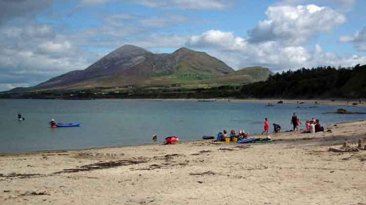 Garvillaun PointHeadland · 1105 yd
 Clew Bay Heritage CentreMuseum · 1248 yd
 Pirate QueenHeritage attraction · 1407 yd
 BaldcypressBaldcypress · 1597 yd
 CahernamartEnclosure · 1.2 mi
 Site of Bawn CastleCastle, unclassified · 1.5 mi
 Annagh IslandIslet · 2.5 mi
Other information
Photo: Credit not shown in the picture search · Rights wording not checked; contact us if this picture should be removed