What is recorded here
On the flood plain of the River Goul, the river flowing roughly N-S c. 100m to the W, though a later channel, dug between 1839 and 1900, has diverted the river to c. 10m W of the monument. This is the easternmost (dims. c. 47m NNW-SSE; c. 49m ENE-WSW at N and tapers to c. 33m at S) of two roughly rectangular enclosures, the other enclosure (KK008-112001-) is conjoined to the W, both sharing a dividing fosse. It is described by Barry (197, 192) as a, 'Double platform site. West platform 2290m² in area; east platform 2392m². Very eroded by cattle. Traces of ext. and int. banks. Dry moat 2.60m wide, and 1.50m deep. Dry stone walls of two buildings remain on platform'. The buildings (KK008-112002-) noted by Barry may be the remains of two of the three buildings depicted on the 1st (1839) ed. OS 6-inch map within the western enclosure, one orientated roughly E-W in the NE sector, one orientated N-S in the E sector and one roughly E-W in the SW sector. It is likely that these buildings are 18th/19th century in date. When visited in 1987 both enclosures had been levelled relatively recently and survived as a slightly elevated stony platform (H 0.02-0.03m) above the drained land.
Compiled by: Jean Farrelly
Date of upload: 22 January 2018
The monument record does not grant public access. Check the route and ask the landowner before entering private land.
- What survives
- Recorded monument
Places near here
 Enclosure in WarrenstownEnclosure · 770 yd
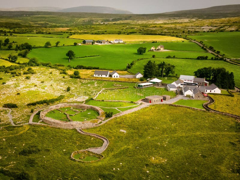 Borrismore Ringfort (Rath)Archaeological place · 1262 yd
 Ellenvillehouse · 1606 yd
 Urlingford Church (in ruins)Church · 1659 yd
 CastleCastle, tower house · 1735 yd
 TurretBawn · 1760 yd
 John HelyMemorial · 1.2 mi
 DelaneyMemorial · 1.2 mi
 Clomantagh HillMountain / peak · 2.8 mi
 Street fieldArchaeological place · 4.3 mi
 KilcooleyForest · 4.4 mi
 Kilcooly AbbeyHeritage attraction · 4.6 mi