What is recorded here
Immediately W of the Grand Canal. A rectangular enclosure is marked on the 1841 edition of the OS 6-inch map. On the 1909 edition, only the E corner (C c. 35m NE-ESE) is marked. The site has been partially destroyed but remains of the bank survive at E and SE.
The above description is derived from the published 'Archaeological Inventory of County Laois' (Dublin Stationery Office, 1995) compiled by P. David Sweetman, Olive Alcock and Bernie Moran. In certain instances the entries have been revised and updated in the light of recent research.
Date of upload: 17 December 2007
The monument record does not grant public access. Check the route and ask the landowner before entering private land.
- What survives
- Recorded monument
Places near here
 Site of Kylemahoe ChurchChurch · 760 yd
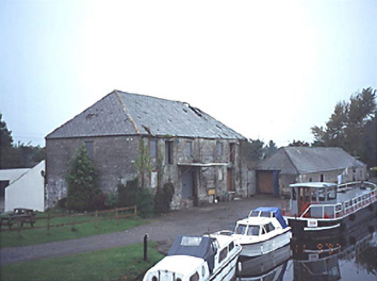 store/warehousestore/warehouse · 843 yd
 Vicarstown Bridgebridge · 885 yd
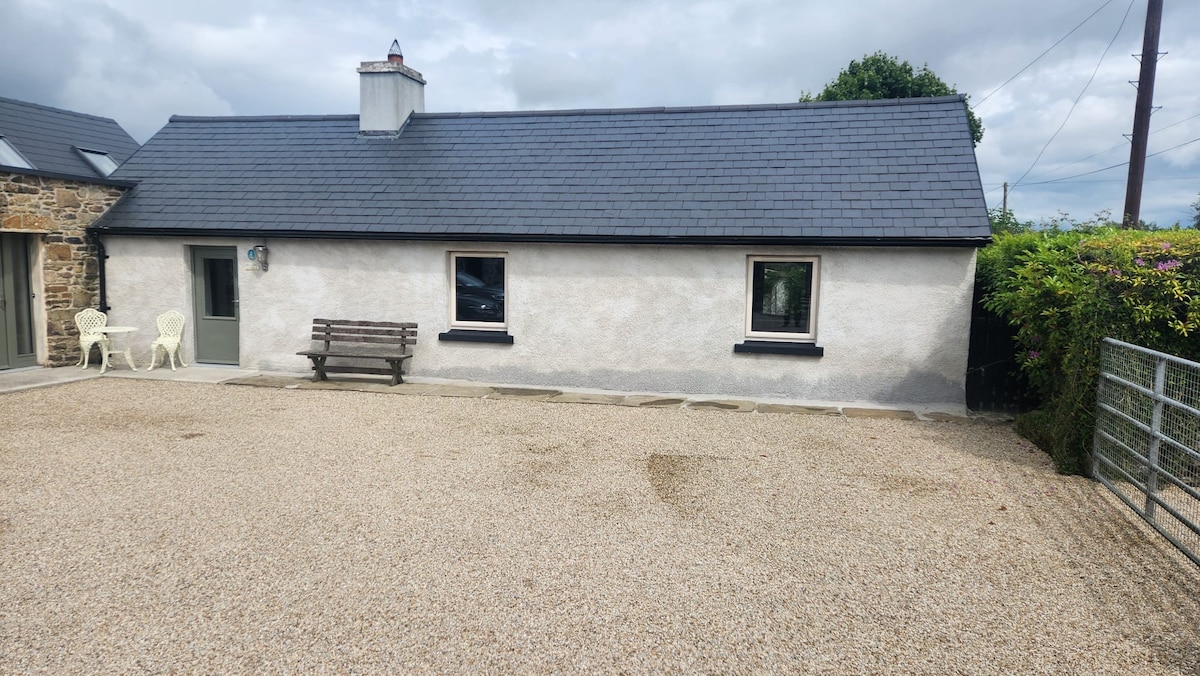 Enclosure in RaheenaniskaEnclosure · 1.2 mi
 Site of Ballymanus CastleCastle, unclassified · 1.3 mi
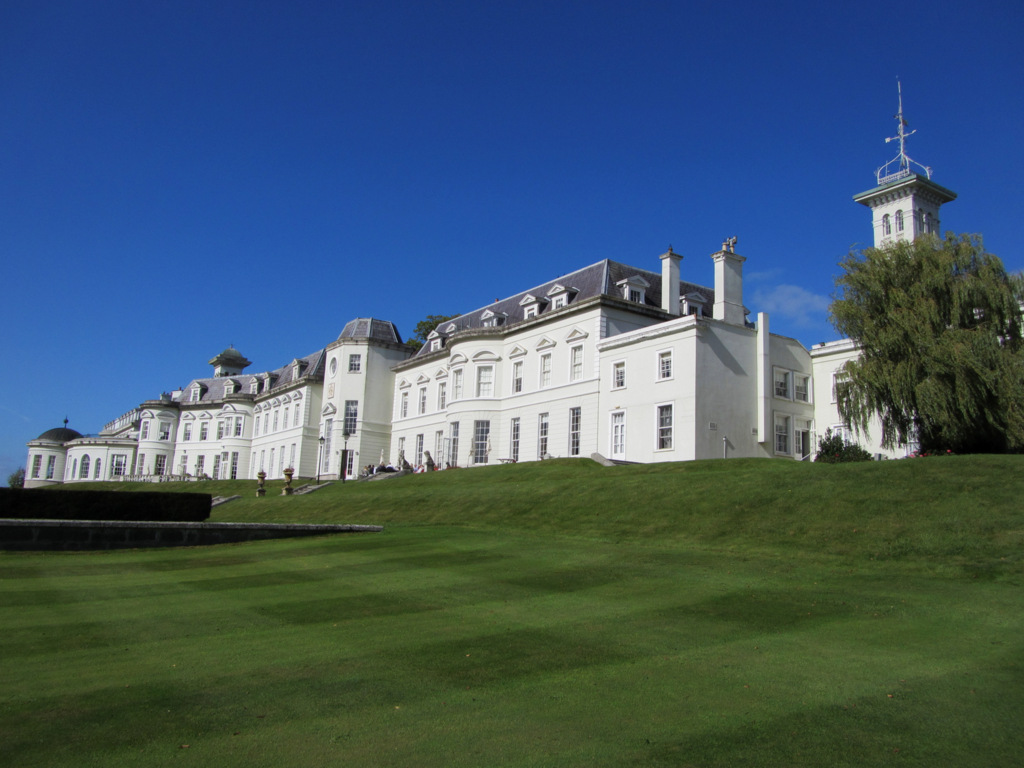 Cloney CastleCastle, unclassified · 1.7 mi
 Black WalnutBlack Walnut · 3.1 mi
 Pedunculate OakPedunculate Oak · 3.7 mi
 Beech Way WalkWalking route · 4.0 mi
 CEMETERYGraveyard · 4.0 mi
 Mass RockNamed rock · 4.2 mi
 Oughaval Wood MapVisitor information · 4.2 mi