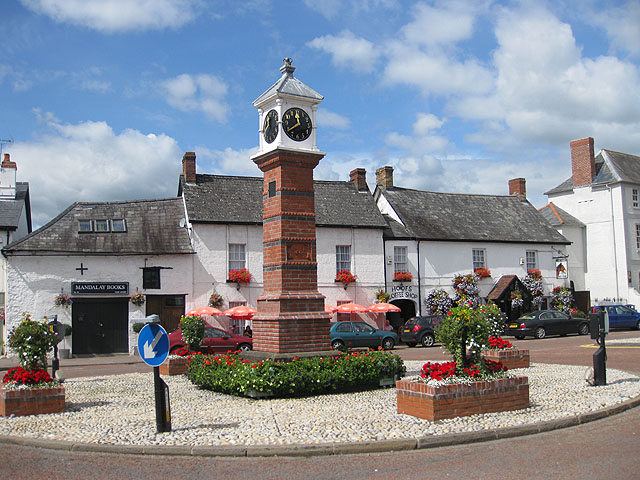
What is recorded here
In level pasture overlooking lower rushy ground to the SE and overlooked by a moderately steep-sided ridge SSW-N-NNE. A poorly preserved oval area (int. 30.3m E-W; 23m; N-S) is enclosed by a low broad earthen bank (int. H 0.1-0.3m; Wth across top 2.1m at S-6.1m at N; ext H 0.3-1.1m) and by a shallow outer fosse (D 0.1-0.8m; Wth at base 1.5-3.2m). A denuded gap (Wth 3.6m) in the enclosing bank at W has a corresponding causeway across the fosse outside.
Compiled by: Gearóid Conroy
Date of upload: 25 October 2013
The monument record does not grant public access. Check the route and ask the landowner before entering private land.
- What survives
- Recorded monument
Places near here
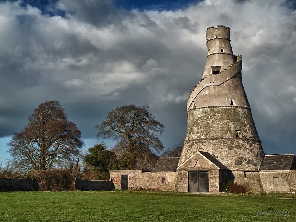 Enclosure in Brewel East OR MervilleEnclosure · 970 yd
 Church in Brewel WestChurch · 1484 yd
 Castle (in Ruins)House, fortified house · 1539 yd
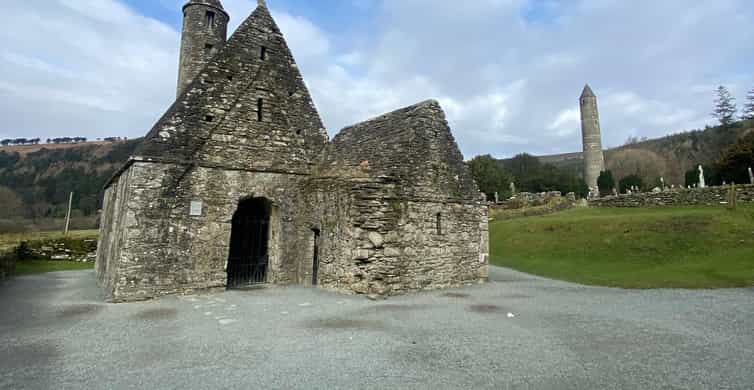 Enclosure in Tornant LowerEnclosure · 1669 yd
 Site of Fair GreenForest · 1.2 mi
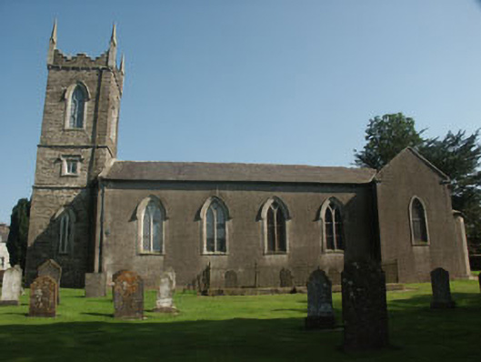 Saint Nicholas's Church (Dunlavin)church/chapel · 1.3 mi
 Memorial to 1798 rebellionMonument · 1.4 mi
 CastleCastle, unclassified · 1.4 mi
 HawthornHawthorn · 1.7 mi
 Burial ground in CrehelpBurial ground · 4.4 mi
 Ballyhook HillMountain / peak · 4.6 mi
 Battle of Kilrushbattle · 5.4 mi
Other information
Photo: Credit not shown in the picture search · Rights wording not checked; contact us if this picture should be removed