What is recorded here
On top of high ground in pasture with an impressive panoramic siting. This heavily overgrown monument consists of a circular area (int. diam. 41m NW-SE) enclosed by an earth and stone bank (top Wth 0.7m; base Wth 2.5m; ext. H 1.6m; int. H 1.1m), a fosse (base Wth 2.4m; top Wth 5m; ext. D 0.2m ) and outer bank (top Wth 1.4m; base Wth 3m; ext. H 0.8m) with an entrance gap (Wth 4m) at the E. The outer bank may be a later enclosing field boundary. It has been largely levelled, but it, together with traces of an outer fosse, are visible in the NW quadrant.
Compiled by: Jean Farrelly
Date of upload: 26 August 2011
The monument record does not grant public access. Check the route and ask the landowner before entering private land.
- What survives
- Recorded monument
Places near here
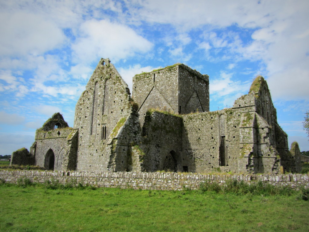 Partially hachuredEnclosure · 507 yd
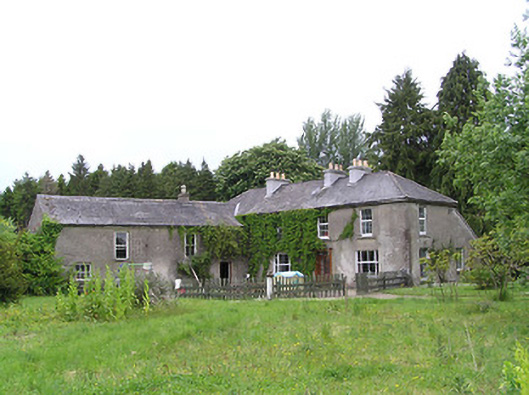 George's Parkhouse · 1008 yd
 IndicatedEnclosure · 1156 yd
 Kilcooly Abbeyboathouse · 1.2 mi
 Black CastleCastle, hall-house · 1.2 mi
 KilcooleyForest · 1.3 mi
 Fennor Castle (in Ruins)Castle, unclassified · 1.6 mi
 Serpentine WoodForest · 1.6 mi
 Bregaun HillMountain / peak · 3.4 mi
 John HelyMemorial · 4.0 mi
 DelaneyMemorial · 4.2 mi
 Clomantagh HillMountain / peak · 4.4 mi