What is recorded here
Named 'Watercourse', on the 1837OS 6-inch map. It is shown on the DownSurvey map compiled c. 1655. This is part of Dublin City watercourse which served Deane Street (Joyce 1912, 452-3; Berry 1891, 557-73).
The monument record does not grant public access. Check the route and ask the landowner before entering private land.
- What survives
- Recorded monument
Places near here
 Mount Jerome HouseHouse, 18th/19th century · 110 yd
 Sir William Rowan HamiltonMemorial · 168 yd
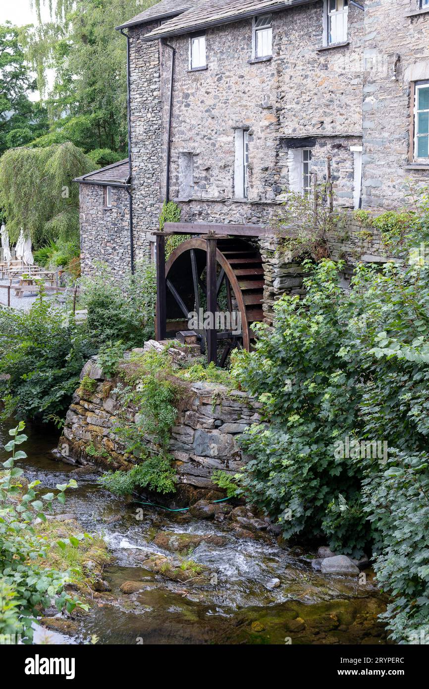 Water millWater mill, unclassified · 181 yd
 Arthur Guinness the SecondMemorial · 227 yd
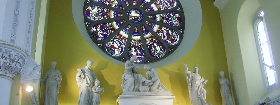 Mary Aikenhead Heritage CentreMuseum · 318 yd
 La Galerie ImpromptuGallery · 487 yd
 Site of Donore Castle indicatedCastle, unclassified · 1059 yd
 Windmill in Unknown TownlandWindmill · 1128 yd
 David Luke 1993Monument · 1561 yd
 Rathgar CastleCastle, unclassified · 1570 yd
 Battle of RathminesMajor battlefield · 1.0 mi
 Bus Route InformationVisitor information · 1.2 mi