What is recorded here
Described as 'The Water that Supplieth Dublin' on the Down Survey (1655-6) parish maps. Shown on the1837 OS 6-inch map. as 'Millrace' and'Watercourse'. This is part of the eastern branch of the medieval Dublin watercourse that supplied Deane Street (Joyce 1912, 452-3).
The monument record does not grant public access. Check the route and ask the landowner before entering private land.
- What survives
- Recorded monument
Places near here
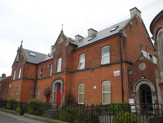 The Old Convent Apartmentsconvent/nunnery · 143 yd
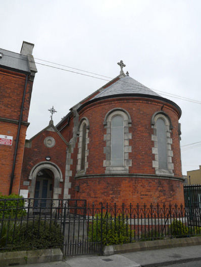 The Basin Centrechurch/chapel · 159 yd
 Graveyard in Unknown TownlandGraveyard · 360 yd
 Bus Route InformationVisitor information · 422 yd
 Workhouse in Unknown TownlandWorkhouse · 453 yd
 Field system in Unknown TownlandField system · 475 yd
 Saint James' GateHeritage attraction · 585 yd
 Pearse LyonsHeritage attraction · 594 yd
 European PearEuropean Pear · 736 yd
 Jeanne (Lena) SaksMemorial · 834 yd
 Site of Donore Castle indicatedCastle, unclassified · 936 yd
 Gairdín Foirmiúil Ospidéal Ríoga Chill MhaighneannVisitor information · 956 yd