What is recorded here
On a SE-facing slope, in an impenetrable un-thinned forestry plantation (c. 10 years old). Depicted on all OS historic mapping as a roughly oval area (50m NW-SE; 35m NE-SW) defined by a single enclosing element and listed as a possible enclosure in the SMR (1992) and the RMP (1996). On inspection in 2018 access could not be gained. Digital Globe aerial imagery shows forestry planted up to the outer edge of the enclosure and drains (long-axis NE-SW) cut up to the edge of the enclosure S-NW.
Compiled by: Mary Tunney, Alison McQueen and Vera Rahilly
Date of upload: 27 November 2018
The monument record does not grant public access. Check the route and ask the landowner before entering private land.
- What survives
- Recorded monument
Places near here
 Derrynabrone FortEnclosure · 1.1 mi
 Saint James's Catholic Churchchurch/chapel · 1.3 mi
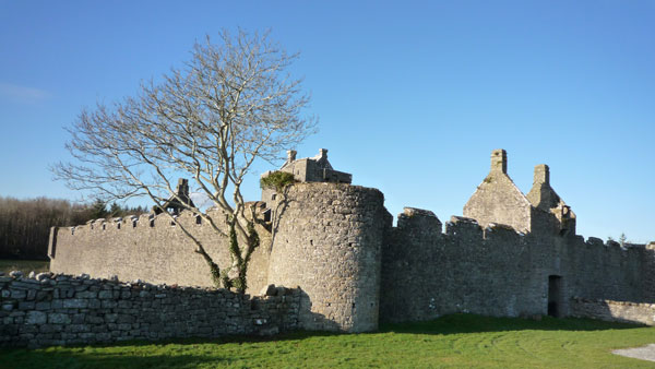 Cappanknochaun FortFairy fort / earthen ringfort · 1.4 mi
 Tyredagh Castle (in ruins)Castle, tower house · 3.0 mi
 Castle (Site of)Castle, tower house · 3.2 mi
 St Mochullas Ch (in RuinsChurch · 3.4 mi
 The StablesGallery · 3.5 mi
 MagheraMountain / peak · 3.7 mi
 Derrymore WoodWood · 4.9 mi
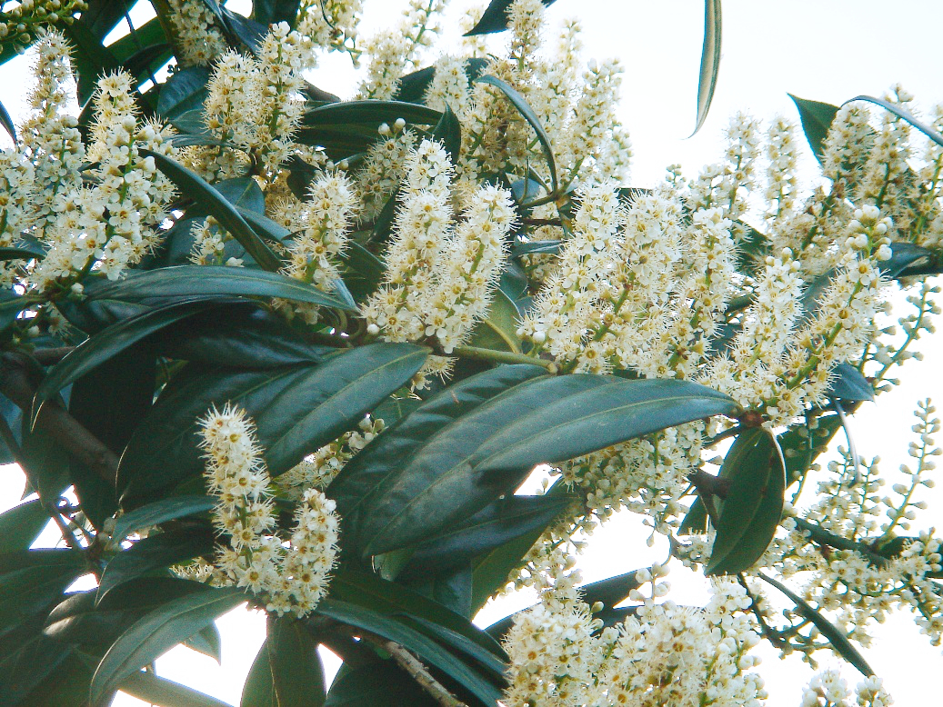 Cherry laurelCherry laurel · 5.0 mi
 Cloghleagh RockNamed rock · 6.3 mi
 Mulkere MemorialMemorial · 6.4 mi