
What is recorded here
On a low hillock, at the upper edge of a very steep S-facing slope, with extensive views across a low-lying landscape ENE-WSW and moderate views WNW-ENE. The enclosure is depicted and named ‘Derrynabrone Fort’ on all OS historic mapping. It consists of an oval area (16.5m E-W; 14m N-S) defined by the remains of a denuded scarp (Wth 4.6m; H 1.2m). The scarp falls gently to undulating pasture WSW-ESE and defines the crown of the hillock and the edge of a steep S-facing slope ESE-WSW, where the monument is in scrub. The scarp has reasonable definition although is denuded around the northern arc and is less well defined where it blends into the steep slope around the southern arc, where obscured by vegetation. A break of slope (Wth 2m; H 0.8m) at SE may indicate definitive remains of the scarp. The interior has a steep ESE-facing slope across the N-half where it is in improved pasture and a steep ESE and S-facing slope across S half, where it is in scrub. The monument is traversed by the remains of a low collapsed drystone field boundary (Wth 0.7m; H 0.4m) (long-axis WNW-ESE) across the S sector. The remains of a similar boundary are incorporated into the scarp at E. A recently uprooted tree plate is located within at ESE.
The following images have been uploaded:
CL027-011----_01.jpg From NE. General view of monument.
CL027-011----_02.jpg From ESE. Oblique cross-section view of scarp at N.
CL027-011----_03.jpg From SW. Cross-section view of break of slope/scarp at SE.
CL027-011----_04.jpg From E. General view of interior, across N half.
Compiled by: Mary Tunney, Alison McQueen and Vera Rahilly
Date of upload: 5 December 2018
The monument record does not grant public access. Check the route and ask the landowner before entering private land.
- What survives
- Recorded monument
Places near here
 Saint James's Catholic Churchchurch/chapel · 324 yd
 Holy WellHoly well · 1305 yd
 EnclosureEnclosure, large enclosure · 1686 yd
 Tyredagh Castle (in ruins)Castle, tower house · 1.9 mi
 Bunavory Castle (in ruins)Castle, unclassified · 2.6 mi
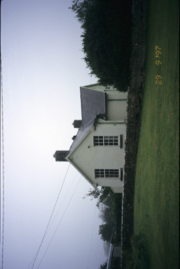 Scoil Náisiúnta Macaireschool · 2.6 mi
 The StablesGallery · 2.8 mi
 Derrymore WoodWood · 4.0 mi
 MagheraMountain / peak · 4.6 mi
 Cloghleagh RockNamed rock · 5.4 mi
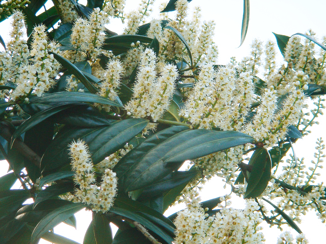 Cherry laurelCherry laurel · 6.1 mi
 Quin AbbeyHeritage attraction · 7.3 mi
Other information
Photo: Credit not shown in the picture search · Rights wording not checked; contact us if this picture should be removed