What is recorded here
Indicated is a fairy fort or earthen ringfort in Tullyval, County Roscommon, Ireland. It occupies a circular area twenty-five metres wide towards the bottom of a drumlin slope. A low scarp defines its south-east edge before merging into the ground elsewhere. Two other raths lie within three hundred metres, yet no entrance or ditch remains visible at Indicated.
Towards the bottom of the NW-facing slope of a drumlin. Circular area (diam. 25m) defined by a scarp (H 0.2-1m) S-E which merges into the slope elsewhere with some coniferous trees on the perimeter. There is no visible fosse or identifiable original entrance. Rath (RO003-063----) is c. 120m to the NW and rath (RO004-043----) is c. 220m to the E.
Compiled by: Michael Moore
Date of upload: 24 August 2010
The monument record does not grant public access. Check the route and ask the landowner before entering private land.
- What survives
- Recorded monument
Places near here
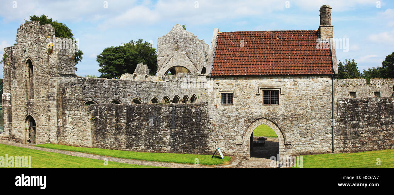 IndicatedFairy fort / earthen ringfort · 149 yd
 Megalithic structure in BallyformoyleMegalithic structure · 1.1 mi
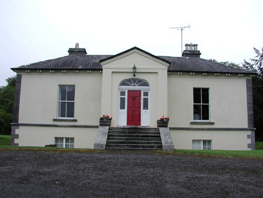 Riversdale Housecountry house · 1.5 mi
 Knockvicar BridgeOfficially recorded historic building · 1.6 mi
 Errironagh WoodForest · 2.5 mi
 Lahan IslandIslet · 2.6 mi
 Knockranny WoodsForest · 2.6 mi
 Turlough O'CarolanMemorial · 2.9 mi
 Ash IslandsIslet · 3.0 mi
 Longford HillMountain / peak · 3.1 mi
 Battle of Áth an Chipbattle · 3.7 mi
 Lough Key Forest ParkWood · 3.9 mi