What is recorded here
Located N of the summit of a NE-SW drumlin ridge. This was described in 1968 as a raised and slightly dished D-shaped grass and rush-covered area (dims 39m NW-SE; 28.8m NE-SW) that sloped down slightly to the NE (H 1.4m). It was defined by an earthen bank (at SW: Wth 5m; int. H 0.4m; ext. H 1.4m) SSW-N, with traces of a fosse outside it W-N and a farm track SSW-W. The perimeter was represented by a field bank with farm buildings immediately outside it SE-SSW, and the monument was cut at E by a NW-SE field bank. The original entrance was not identified. The monument had been removed by 2000 (OSAP).
The above description is derived from the published 'Archaeological Inventory of County Monaghan' (Dublin: Stationery Office, 1986). In certain instances the entries have been revised and updated in the light of recent research.
Date of revision: 13 December 2017
The monument record does not grant public access. Check the route and ask the landowner before entering private land.
- What survives
- Recorded monument
Places near here
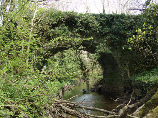 Cooldarragh Bridgebridge · 561 yd
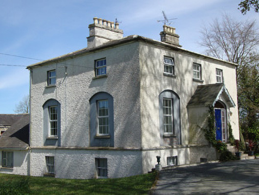 The Rectoryrectory/glebe/vicarage/curate's house · 802 yd
 IndicatedEnclosure · 1066 yd
 Rough HillMountain / peak · 1578 yd
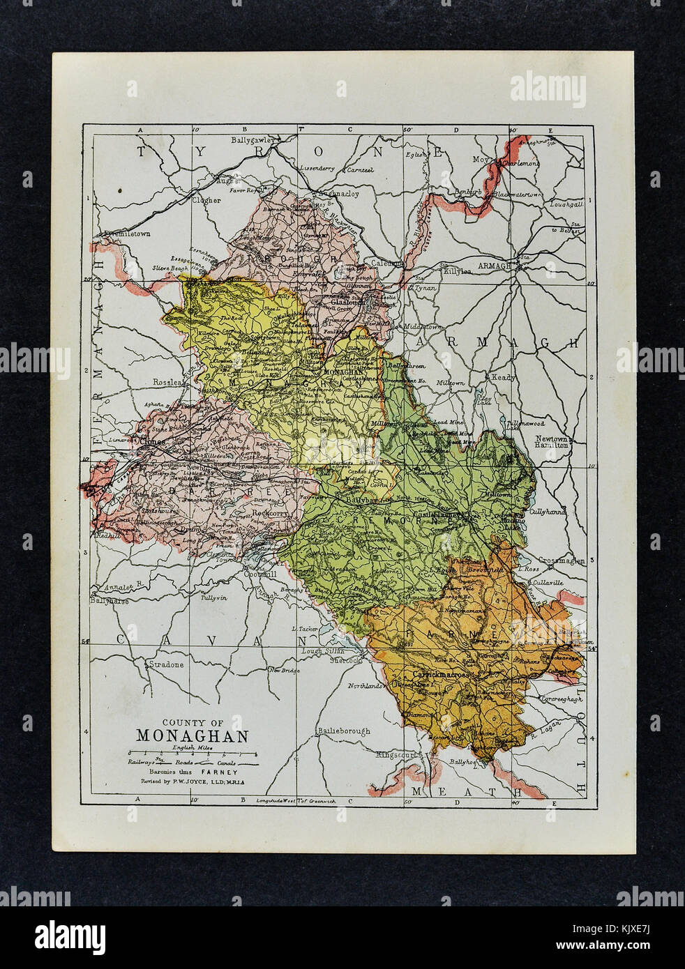 2Archaeological place · 1.1 mi
 Hazel WoodWood · 1.5 mi
 Churchland WoodWood · 2.3 mi
 Roddy-Den-Drum GiantHeritage attraction · 2.5 mi
 Dagda's CauldronHeritage attraction · 2.5 mi
 Lisarrilly HillMountain / peak · 3.7 mi
 Roosky Castle (Site of)Castle, ringwork · 3.9 mi
 Bawn in Roosky (monaghan By., Monaghan Par.)Bawn · 3.9 mi