What is recorded here
Indicated is a crannog in Tully (ballintober North By., Kilmore Ed), County Roscommon, Ireland. It occupies a circular overgrown island of earth and stones measuring 25.5m across and 1.2m high, situated 50m from the NE shore of tear-shaped Tully Lough. Vertical palisade posts remain visible under water along the SW-N edge, while horizontal timbers persist at the W. Three other crannogs appear within 200m, including RO017-109 at 180m WSW, RO017-204 at 20m NW, and RO-017-112 at 190m SE.
Situated c. 50m from the NE shore of tear-shaped Tully Lough (dims. c. 600m NW-SE, c. 120m NE-SW at SE to c. 400m NE-SW at NW) where the Tully Lough cross was found in 1986 (Kelly 2003). Circular overgrown island (diam. 25.5m) of earth and stones (H 1.2m) with vertical palisade posts visible under water SW-N, and with some horizontal timbers at W. Crannog (RO017-109----) is c. 180m to the WSW, crannog (RO017-204----) is c. 20m to the NW, and crannog (RO-017-112----) is c. 190m to the SE.
See the attached view from the shore at NE (003) and in the background of the aerial image (004) taken from the NW.
Compiled by: Michael Moore
Date of upload: 24 August 2010
The monument record does not grant public access. Check the route and ask the landowner before entering private land.
- What survives
- Recorded monument
Places near here
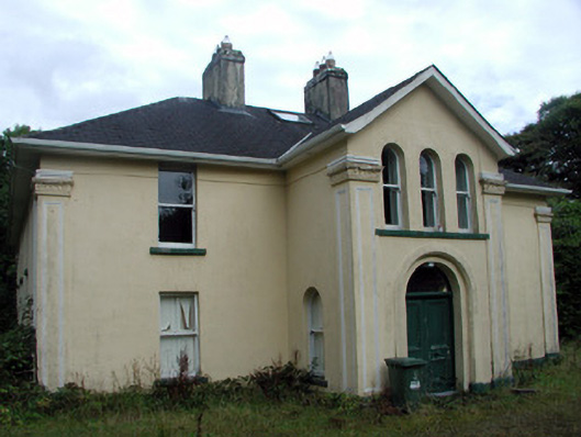 Tully Lodgehouse · 888 yd
 Embanked enclosureFairy fort / earthen ringfort · 999 yd
 Tober PatrickChurch · 1114 yd
 Tobermacleggan WellHoly well · 1.0 mi
 Site of Dangan CastleCastle, unclassified · 1.2 mi
 Hat IslandIslet · 1.4 mi
 InishmoylinIslet · 1.4 mi
 Coarse IslandForest · 1.6 mi
 Mullinashee WoodForest · 2.9 mi
 Tom Dunphy MemorialMemorial · 3.2 mi
 Patrick Gill Memorial Plaque (IRA)Monument · 3.4 mi
 Cavan & Leitrim RailwayMuseum · 4.5 mi