What is recorded here
Raised circular area (int. diam. 32m) enclosed by a steep scarp surmounted by a low modern bank incorporated into the field boundary, and an infilled fosse. Depression in scarp at S may represent original entrance.
The above description is derived from the published 'Archaeological Inventory of County Cavan' (Dublin: Stationery Office, 1995). In certain instances the entries have been revised and updated in the light of recent research.
Date of upload/revision: 22 December 2008
A local fairy fort (ringfort/rath); wider significance not recorded.
The monument record does not grant public access. Check the route and ask the landowner before entering private land.
- What survives
- Recorded monument
Places near here
 Giant's GraveArchaeological place · 504 yd
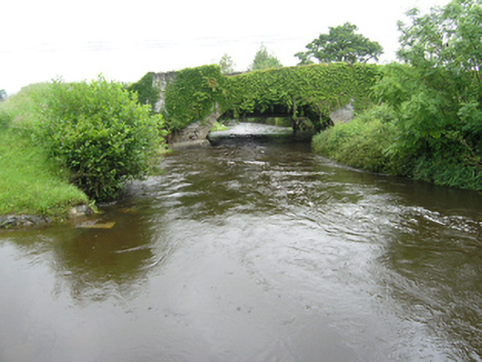 Curravogy Bridgebridge · 790 yd
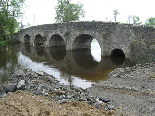 Rathkenny Bridgebridge · 1031 yd
 Fort HenryArchaeological place · 1236 yd
 Rookery WoodForest · 1.0 mi
 McCullagh's PlantationWood · 1.2 mi
 Enclosure in RakennyEnclosure · 1.2 mi
 DernaskeaghMountain / peak · 1.3 mi
 Embanked enclosureBawn · 1.3 mi
 CastleCastle, unclassified · 1.8 mi
 CorickMountain / peak · 2.5 mi
 Giants GraveArchaeological place · 3.2 mi