What is recorded here
There is an oval-shaped, flat-bottomed pond-like depression (12m N-S; 10m E-W) immediately N of Treanmore ring-barrow (SL035-101----). The depression is defined by a scarp (H 1.1m) and is waterlogged with some peat growth at its centre. This may be a ritual feature associated with the barrow.
Compiled by: Archaeological Survey Unit, UCC with revisions by Patrick F. O'Donovan and Paul Walsh
Date of upload: 20 June 2011
The monument record does not grant public access. Check the route and ask the landowner before entering private land.
- What survives
- Recorded monument
Places near here
 Indicated (1838).Fairy fort / earthen ringfort · 566 yd
 Enclosure in Dromore (tirerrill By., Kilmactranny Ed)Enclosure · 1011 yd
 Foyoges Bridgebridge · 1.1 mi
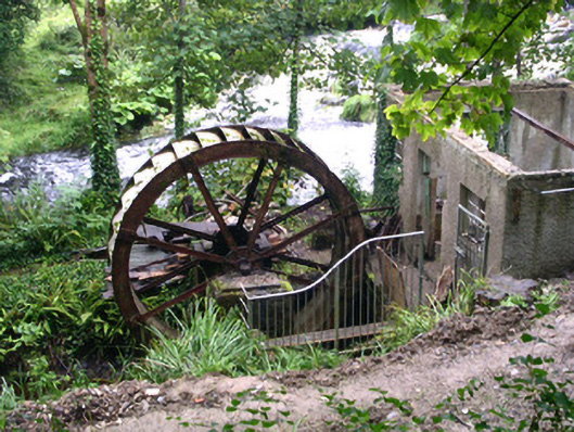 hydroelectric power stationhydroelectric power station · 1.1 mi
 Geevagh Prisoners 1908 MemorialMemorial · 1.6 mi
 Josie McDermott MemorialMemorial · 1.8 mi
 Green IslandIslet · 2.0 mi
 Barroe NorthMountain / peak · 2.3 mi
 Annagh WoodForest · 2.5 mi
 Roundhouse Hill WoodForest · 2.5 mi
 Loughbrick BayBay · 2.5 mi
 Ballindoon Castle (in Ruins)Castle, unclassified · 2.8 mi