
What is recorded here
Located in an area of rolling average pasture dotted with drumlin-like knolls and hummocks, with good views generally, especially SE–SW. Situated on top of a natural rise. Field boundaries to E and SE shown on the 1922 OS 6-inch map were removed during land reclamation to create one large open field.
This monument is shown on the 1838 and 1922 OS 6-inch maps as a circular enclosure (diam. c. 20m). A slightly domed raised area can be discerned at this location, largely engulfed in gorse. It was not possible to trace the original form and size of the enclosure which appears to have been damaged during land reclamation. This is one monument in a cluster which includes: a wedge tomb (MA015-044007-) located immediately to NW; an enclosure (MA015-044003-) c. 30m to NE, and another (MA015-044001-) c. 100m to WSW; two possible barrows (MA015-044005-; MA015-044006-) c. 30m to SW; and a rath (MA015-044004-) c. 100m to SE.
Compiled by: Jane O’Shaughnessy
Date of upload: 6 December 2018
.
The monument record does not grant public access. Check the route and ask the landowner before entering private land.
- What survives
- Recorded monument
Places near here
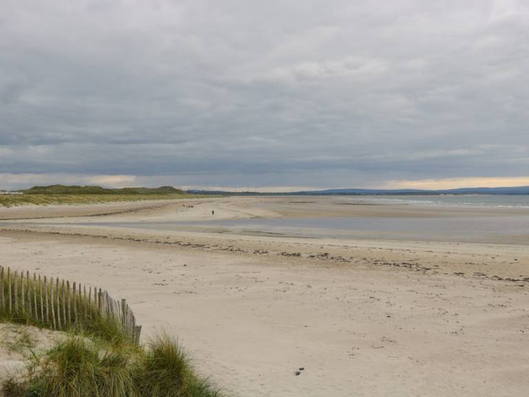 Enclosure in Townplots WestEnclosure · 61 yd
 Elgans FortFairy fort / earthen ringfort · 161 yd
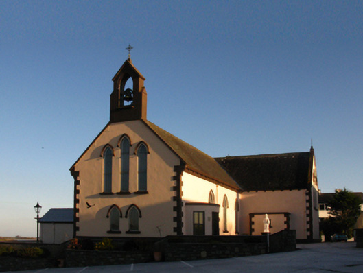 Saint Patrick's Catholic Churchchurch/chapel · 1379 yd
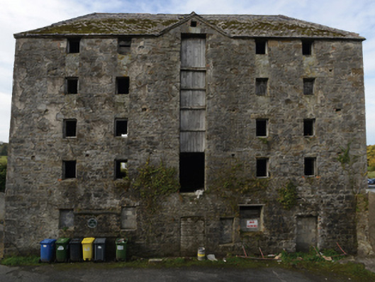 store/warehousestore/warehouse · 1419 yd
 Battle of Killalabattle · 1455 yd
 CastleCastle, unclassified · 1568 yd
 Green IslandIslet · 1.1 mi
 Castle (in Ruins)Castle, tower house · 1.3 mi
 Rinnaun PointHeadland · 1.4 mi
 Battlefields of MoyneBattlefield · 2.2 mi
 Moyne AbbeyHeritage attraction · 2.8 mi
 Bartragh IslandIsland · 2.9 mi
Other information
Photo: Credit not shown in the picture search · Rights wording not checked; contact us if this picture should be removed