What is recorded here
Indicated is a degraded circular barrow on a Mayo knoll, overlooking Rathfran Bay and the Nephin mountains. It sits among other ancient markers, including a wedge tomb and enclosures, forming a forgotten landscape of death and memory. The small dome may have marked a burial, a boundary or a promise made to the land.
Located on a small peak on top of a knoll, in an area of rolling average pasture dotted with drumlin-like knolls and hummocks. There are good views in all direction: Rathfran Bay is visible to E, the Ox mountains to SE, and Nephin and the Nephin Beg range to W–SW.
This is shown on the 1838 and 1922 OS 6-inch maps as a small circular enclosure (diam. 10-15m). It is evident as low, circular slightly domed rise (diam. c. 6-7m; H 0.4m) on top of the knoll. It is degraded and poorly defined. Another possible barrow (MA015-044006-) is located 15m to NNE. There are a wedge tomb (MA015-044007-) and two enclosures (MA015-044002- and MA015-044003-) c. 70m to NE; there is a rath (MA015-044004-) c. 100m to SE and another (MA015-044001-) c. 100m to NW.
Compiled by: Jane O’Shaughnessy
Date of upload: 6 December 2018
The monument record does not grant public access. Check the route and ask the landowner before entering private land.
- What survives
- Recorded monument
Places near here
 IndicatedFairy fort / earthen ringfort · 105 yd
 Elgans FortFairy fort / earthen ringfort · 163 yd
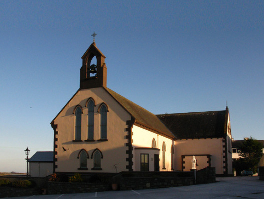 Saint Patrick's Catholic Churchchurch/chapel · 1416 yd
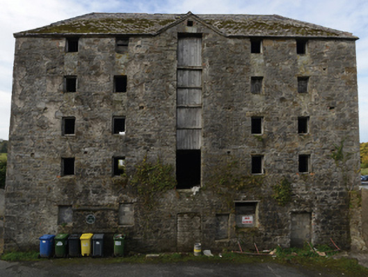 store/warehousestore/warehouse · 1439 yd
 Battle of Killalabattle · 1475 yd
 CastleCastle, unclassified · 1585 yd
 Green IslandIslet · 1.1 mi
 Castle (in Ruins)Castle, tower house · 1.2 mi
 Rinnaun PointHeadland · 1.4 mi
 Battlefields of MoyneBattlefield · 2.2 mi
 Moyne AbbeyHeritage attraction · 2.8 mi
 Bartragh IslandIsland · 3.0 mi