
What is recorded here
Indicated as 'Flour Mill' on 1842 OS 6-inch map with mill race flowing along W end; on N side of Midleton. Indicated on 1902 OS 6-inch map as 'Condensed Milk Factory'. Access to mill yard and buildings not gained. Rectangular (long axis E-W) roofless 8-bay, 5-storey mill. Random rubble limestone construction; two upper storeys have chamfered limestone quoins, similar to quoins of building attached to E. Brick surrounds to opes. According to local information, turbine replaced waterwheel in 1940s. Three-storey kiln attached to E; 3-storey structure attached to N side of kiln and mill. Yard to S with multiphase buildings along roadside boundary. Two-storey gable-ended residential house to N, now part of separate property. According to local information, burnt twice in recent past.
The above description is derived from the published 'Archaeological Inventory of County Cork. Volume 2: East and South Cork' (Dublin: Stationery Office, 1994). In certain instances the entries have been revised and updated in the light of recent research.
Date of upload/revision: 14 January 2009
The monument record does not grant public access. Check the route and ask the landowner before entering private land.
- What survives
- Recorded monument
Places near here
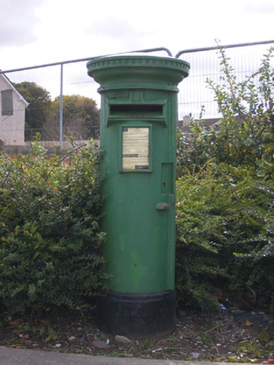 post boxpost box · 215 yd
 Cork Bridgebridge · 243 yd
 Midleton IRA MonumentMemorial · 273 yd
 John Walsh MemorialMemorial · 290 yd
 District HomeWorkhouse · 346 yd
 Grave YardGraveyard · 596 yd
 Jameson Distillery MidletonHeritage attraction · 830 yd
 Noel Collins BridgeVisitor information · 1577 yd
 Castle Redmond (Site of)Castle, unclassified · 1760 yd
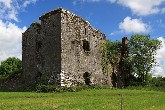 Cahermone Castle (in Ruins)Castle, tower house · 1.1 mi
 Ballyannan (Bluebell) WoodsForest · 1.2 mi
 Curragh WoodsWood · 2.4 mi
Other information
Photo: Credit not shown in the picture search · Rights wording not checked; contact us if this picture should be removed