What is recorded here
Immediately N of Cahir Castle, forming the part of Bridge Street which crosses the River Suir. The bridge at Cahir is depicted in Pacata Hibernia published in 1633 (O'Grady 1896, vol. 1, 53) and actually consisted of three sections of bridge which connects the E bank of the Suir, the town side, with the castle on an island in the river, another section which connects this island with another island to the N, and a third section which connects this latter island with the W river bank. The 'Bridge of Cahyr' is mentioned in the Civil Survey (1654-6) (Simington 1931, vol. 1, 260). The present bridge, constructed of limestone rubble, still spans these three sections of the river. It is an 18th-century bridge but may incorporate earlier fabric. The mid-section is the largest and consists of six round arches with dressed voussoirs, parapets with rounded-limestone copings and V-shaped cutwaters upstream to the N. The E section consists of three segmental arches with dressed voussoirs and cut-limestone copings.
Compiled by: Jean Farrelly
Date of upload: 26 August 2011
The monument record does not grant public access. Check the route and ask the landowner before entering private land.
- What survives
- Recorded monument
Places near here
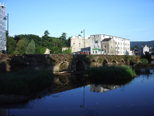 bridgebridge · 2 yd
 Cahir Millsmill (water) · 80 yd
 Cahir CastleHeritage attraction · 96 ydSiege of Cahir Castlesiege · 192 yd
 Ladys WellHoly well · 453 yd
 Caher AbbeyHeritage attraction · 521 yd
 Site of CastleCastle, unclassified · 1018 yd
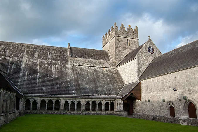 Enclosure in Caherabbey UpperEnclosure · 1155 yd
 Pedunculate OakPedunculate Oak · 1565 yd
 European YewEuropean Yew · 1.2 mi
 Castle (in ruins)Castle, unclassified · 1.9 mi
 Slieveanard NE TopMountain / peak · 2.9 mi