What is recorded here
Situated on the S shoreline of Lough Derg with Townlough Castle (TN019-018----) 200m to S. Low elongated tree-covered mound of earth and stones known locally as the 'Fairy Clump' or 'Fairy Mound' (pers. comm. Derek Ryan) and visible today as a grove of trees on Digital Globe aerial imagery. Depicted as a grove of trees and not as an antiquity on the 1840 ed. OS 6-inch map. It has been suggested that this earthwork may be the burial mound from which the townland Tuaim Locha (Townlough) was named (pers. comm. Derek Ryan; www.logainm.ie)
See attached photographs taken by Derek Ryan
Compiled by: Caimin O'Brien based on details provided by Derek Ryan
Date of upload: 18 March 2020
The monument record does not grant public access. Check the route and ask the landowner before entering private land.
- What survives
- Recorded monument
Places near here
 Townlough CastleCastle · 222 yd
 Laghtea HillMountain / peak · 1442 yd
 Hillfort in Cloneybrien,laghtea,townlough UpperHillfort · 1447 yd
 Millenium CrossHeritage attraction · 1538 yd
 Crow IslandIslet · 1649 yd
 Saint Patrick's RockNamed rock · 1.0 mi
 Graves of the LeinstermenArchaeological place · 1.2 mi
 Derry CastleCastle · 1.5 mi
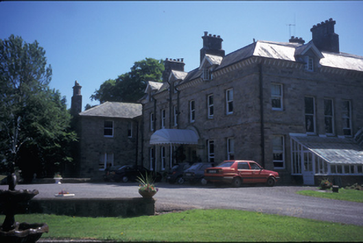 Tinarana Housecountry house · 1.5 mi
 Church (in Ruins), Grave Yd.Church · 1.5 mi
 TountinnaMountain / peak · 1.6 mi
 Model Farm 1850Heritage attraction · 1.7 mi