
What is recorded here
Indicated is a circular earthen fort on a NW facing slope above the Cloonalaghan River, where a stony bank still marks the edge of a small, forgotten life. Sheep and gorse have worn much of it flat, yet the west wall rises nearly two metres, holding the shape against time and pasture. The fort sits thirty metres from another rath, suggesting a neighbourhood rather than a lone outpost, and the land itself seems to have helped build the wall by breaking into the bank at the slope.
In pasture, located on a natural terrace on a NW facing slope, overlooking the flood plain of the Cloonalaghan River. There is gently undulating terrain to S−SW, and higher ground to SE.
A slightly raised, circular area (21.2m NE-SW; 21m NW-SE) defined by a stony earthen bank (Wth 2m; int. H 0.2-0.3m; ext. H 0.4m at E, 1.8m at W). The bank at W−N coincides with a natural break of slope, and has a pronounced external slope. It has been incorporated into a field fence/townland boundary, and with remnants of stone facing visible in parts. Elsewhere around the circuit, the bank is low, and defaced by farm stock.
An internal division, in the form of a low bank (Wth 0.85m; int. H 0.1m; ext. H 0.35m) of earth and stone, defines the SE quadrant, which appears to be at a slightly higher level than the rest of interior.
Clumps of gorse and brambles grow in the interior and on the perimeter, and are particularly at SW-S. There is another rath (MA015-011----) 30m to SE.
Compiled by: Jane O’Shaughnessy
Date of upload: 13 November 2018
The monument record does not grant public access. Check the route and ask the landowner before entering private land.
- What survives
- Recorded monument
Places near here
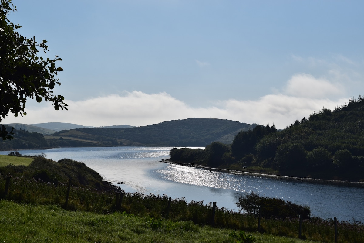 ToberaraHoly well · 460 yd
 Fairy fort / ringfort in Cashel (tirawley By.)Fairy fort / ringfort · 1039 yd
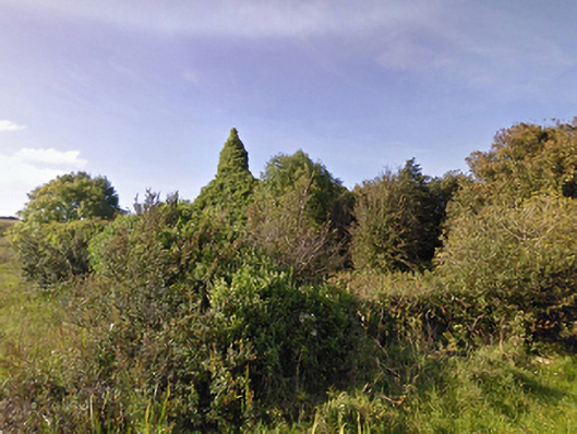 Lackan Church (Lackan)church/chapel · 1546 yd
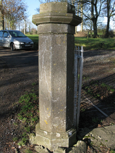 Carrowmore Housegates/railings/walls · 1563 yd
 CastleCastle, unclassified · 1.2 mi
 TrabaunBeach / strand · 1.4 mi
 CastlenageehaCastle, unclassified · 1.4 mi
 French Landing 1798Memorial · 1.9 mi
 Rinnaun PointHeadland · 2.9 mi
 Green IslandIslet · 3.3 mi
 Battle of Killalabattle · 3.3 mi
 Lisheen Grave YardArchaeological place · 3.9 mi
Other information
Photo: Credit not shown in the picture search · Rights wording not checked; contact us if this picture should be removed