What is recorded here
Indicated is a fairy fort on a Monaghan peninsula, mapped in 1834 as a fort and still faintly visible in pasture today. It is the kind of place where humans may have lived, loved and been forgotten, while the land kept the shape of their choices.
Situated on a peninsula (max. dims c. 725m NW-SE; c. 200m NE-SW) jutting into the S part of Muckno Lough from the SE. It is depicted as a subcircular embanked enclosure (ext. diam. c. 50m NW-SE; c. 40m NE-SW) on the 1834 edition of the OS 6-inch map where it is described in gothic lettering as a ‘fort’, and as an oval enclosure in woodland on the 1907 edition. Faint traces of an oval enclosure are visible in pasture on OSI aerial photographic images (1995, 2000).
The above description is derived from the published 'Archaeological Inventory of County Monaghan' (Dublin: Stationery Office, 1986). In certain instances the entries have been revised and updated in the light of recent research.
Compiled by: Michael Moore
Date of revision: 27 February 2018
The monument record does not grant public access. Check the route and ask the landowner before entering private land.
- What survives
- Recorded monument
Places near here
 Whites IslandIslet · 670 yd
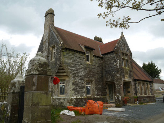 Hope Castlegate lodge · 855 yd
 Fairy fort / earthen ringfort in AnnadrummanFairy fort / earthen ringfort · 1166 yd
 Crane IslandIsland · 1395 yd
 bridgebridge · 1547 yd
 Fortification in ConcraFortification · 1571 yd
 Dairy HillMountain / peak · 1.1 mi
 Lough MucknoLake and park landscape · 1.6 mi
 Blaney CastleCastle · 2.2 mi
 Bawn in OnomyBawn · 2.2 mi
 Big Tom Memorial StatueMemorial · 2.4 mi
 KnockreaghMountain / peak · 2.7 mi