What is recorded here
Indicated is a grass-covered ringfort on a Monaghan ridge, overlooking Crinkill Lough and hiding behind a higher ridge to the northeast. Its western, northern and eastern boundaries disappeared before 1995, leaving only a shallow eastern scarp and a hedge to mark the circle. The lost entrance may still show in the shape of the grass, or the fort may have given up its form when people stopped needing the warning it gave.
Located just NW of the summit of a NW-SE ridge with a higher NW-SE ridge c. 130m to the NE and it is also overlooking Toome or Crinkill Lough which is to the S. This is a subcircular grass-covered area (dims 39m NW-SE; 35m NE-SW) defined by a scarp (at ENE: H 1.1m) and hedge. The original entrance is not identified, and the perimeter W-N-E had been removed by 1995 (OSAP).
The above description is derived from the published 'Archaeological Inventory of County Monaghan' (Dublin: Stationery Office, 1986). In certain instances the entries have been revised and updated in the light of recent research.
Revised by: Michael Moore
Date of revision: 22 June 2018
The monument record does not grant public access. Check the route and ask the landowner before entering private land.
- What survives
- Recorded monument
Places near here
 IndicatedCrannog · 395 yd
 BarrowBarrow, mound barrow · 665 yd
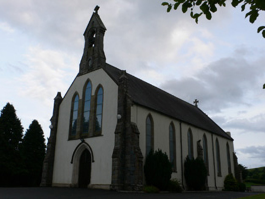 All Saints' Catholic Churchchurch/chapel · 691 yd
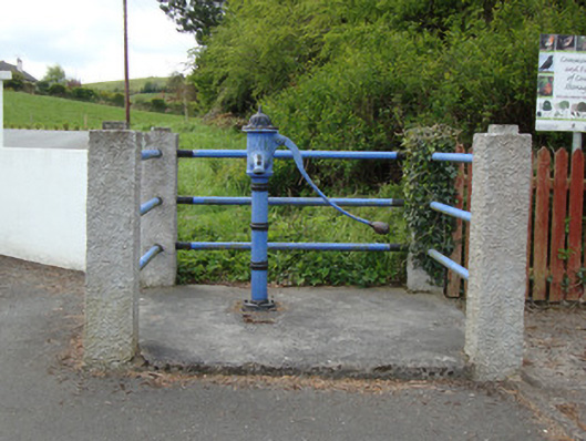 water pumpwater pump · 726 yd
 Fort HillWood · 1.7 mi
 Laragh WoodForest · 2.4 mi
 The CrescentMemorial · 3.2 mi
 Big Tom Memorial StatueMemorial · 3.7 mi
 IllanshivansIslet · 3.8 mi
 Bawn in OnomyBawn · 3.9 mi
 Lough Egish IslandIslet · 3.9 mi
 Blaney CastleCastle · 3.9 mi