
What is recorded here
Situated in Toome Lough, now a sub-rectangular lake (dims c. 450m NW-SE; c. 200-300m NE-SW) but it would have extended off to the SE (max. dims c. 600m NW-SE; c. 200-300m NE-SW) into what is now a marshy area. The crannog is depicted as a small island c. 40m from the NE shore of the present lake on the 1907 edition of the OS 6-inch map. This is a circular overgrown cairn (diam. 19m N-S; 17m E-W; H 2m) partially built on rock outcrop which is visible at S. There is no trace of any wooden structure.
The above description is derived from the published 'Archaeological Inventory of County Monaghan' (Dublin: Stationery Office, 1986). In certain instances the entries have been revised and updated in the light of recent research.
Revised by: Michael Moore
Date of revision: 22 June 2018
This remains an important historical record, but the official description says the monument is no longer visible or has been destroyed. The monument record does not grant public access. Check the route and ask the landowner before entering private land.
- What survives
- No visible remains or recorded as destroyed
Places near here
 BarrowBarrow, mound barrow · 1027 yd
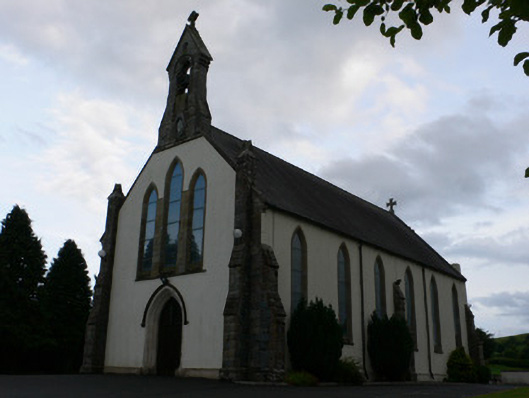 All Saints' Catholic Churchchurch/chapel · 1085 yd
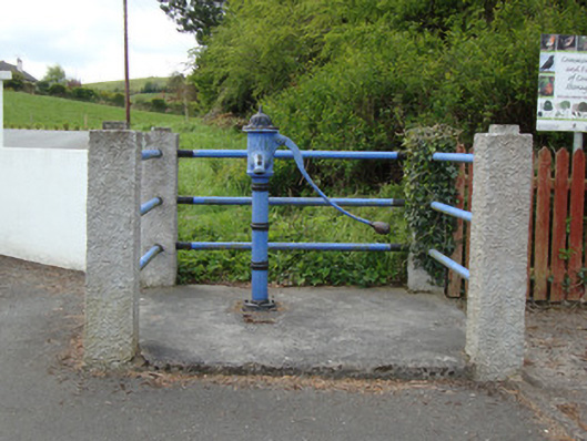 water pumpwater pump · 1120 yd
 The CashellCourt tomb · 1374 yd
 Fort HillWood · 1.7 mi
 Laragh WoodForest · 2.3 mi
 Monaghan WayWalking route · 2.3 mi
 The CrescentMemorial · 3.2 mi
 IllanshivansIslet · 3.6 mi
 Lough Egish IslandIslet · 3.7 mi
 Big Tom Memorial StatueMemorial · 3.8 mi
 Bawn in OnomyBawn · 3.9 mi
Other information
Photo: Credit not shown in the picture search · Rights wording not checked; contact us if this picture should be removed