
What is recorded here
Located on the summit of a small NW-SE ridge, it is known locally as a burial ground. This is a circular grass-covered mound (diam. of base 10.5m; diam. of top c. 7.5-8m; H 0.6-0.8m) with a slight hollow at the centre and with stones accumulating on the perimeter N-E-S, those N-E probably forming a kerb.
Compiled by: Claire Breen
Date of uplaod: 29 February 2012
A local ancient tomb; wider significance not recorded.
The monument record does not grant public access. Check the route and ask the landowner before entering private land.
- What survives
- Recorded monument
Places near here
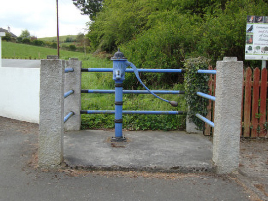 water pumpwater pump · 380 yd
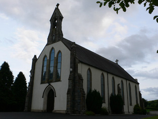 All Saints' Catholic Churchchurch/chapel · 386 yd
 IndicatedCrannog · 1027 yd
 The CashellCourt tomb · 1.0 mi
 Fort HillWood · 1.9 mi
 Laragh WoodForest · 2.7 mi
 The CrescentMemorial · 3.0 mi
 John Francis GreenMemorial · 3.5 mi
 Bawn in OnomyBawn · 3.7 mi
 Blaney CastleCastle · 3.7 mi
 IllanshivansIslet · 4.0 mi
 Lough Egish IslandIslet · 4.1 mi
Other information
Photo: Credit not shown in the picture search · Rights wording not checked; contact us if this picture should be removed