
What is recorded here
Situated on a steep S-facing slope. D-shaped enclosure (dims. c. 50m N-S; 45m E-W) defined by a bank consisting of earthfast boulders and earth, surmounted in some places by an irregularly constructed drystone wall. There is no visible entrance or fosse. The site is incorporated into the surrounding field system.
The above description is derived from the published 'Archaeological Inventory of County Wicklow' (Dublin: Stationery Office, 1997). In certain instances the entries have been revised and updated in the light of recent research.
Date of upload/revision: 17 December 2008
The monument record does not grant public access. Check the route and ask the landowner before entering private land.
- What survives
- Recorded monument
Places near here
 Ballyross WoodWood · 1482 yd
 Mass-rock in OldboleysMass-rock · 1519 yd
 Cloon WoodForest · 1645 yd
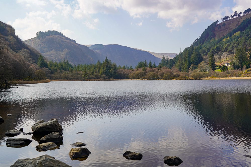 OutlinedEnclosure · 1670 yd
 KnocknagunMountain / peak · 1.0 mi
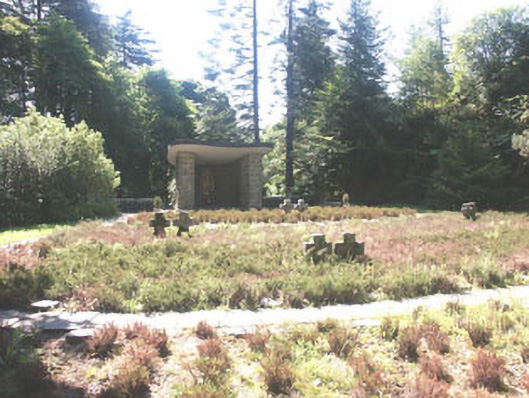 Deutscher Kriegs Friedhofgraveyard/cemetery · 1.2 mi
 Glencree Centre for Peace and ReconciliationHeritage attraction · 1.3 mi
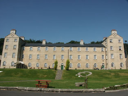 Glencree Barrackbarracks · 1.3 mi
 Prince William's SeatMountain / peak · 1.3 mi
 Glencree German War CemeteryHeritage attraction · 1.3 mi
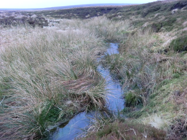 Source of River LiffeySpring · 2.5 mi
 Dublin Mountains Partnership InformationVisitor information · 2.6 mi
Other information
Photo: Credit not shown in the picture search · Rights wording not checked; contact us if this picture should be removed