What is recorded here
Indicated is a fairy fort in County Mayo, Ireland, where a rough circular bank still holds its shape on a gentle slope. The earth rises one and a half metres above a shallow ditch, with a narrow eastern gap and a wider northern opening that may have served as an entrance. Grass and shadow have swallowed much of the boundary, yet the ring remains visible enough to suggest that people once drew a line around ordinary ground and called the inside theirs.
In pasture, on gentle NE-facing slope. Roughly circular area (61m N-S; 56m E-W), enclosed by earthen bank (H 1.5m), with external fosse (D 2.2m). Gap (Wth 2.3m) in E. Possible entrance (Wth 5.2m) in NE. Bank and fosse heavily overgrown SW to N.
The above description has been derived from D. Lavelle (compiler), An Archaeological Survey of Ballinrobe and District including Lough Mask and Lough Carra. Lough Mask and Lough Carra Tourist Development Association (1994), No. 221.
Date of upload: 28 October 2013
The monument record does not grant public access. Check the route and ask the landowner before entering private land.
- What survives
- Recorded monument
Places near here
 Castle (in Ruins)Castle, unclassified · 1628 yd
 IndicatedFairy fort / earthen ringfort · 1722 yd
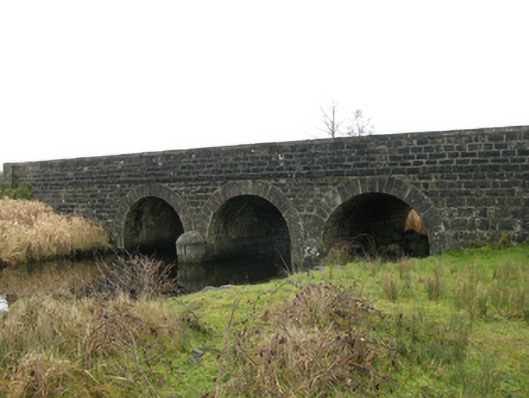 Annies Bridgebridge · 1.4 mi
 Creevagh IslandIslet · 1.5 mi
 Caislen-na-CailligheCastle, unclassified · 1.5 mi
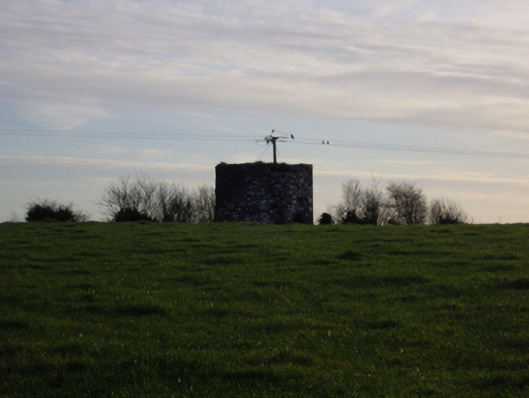 dovecote/pigeon house/aviarydovecote/pigeon house/aviary · 1.5 mi
 LisroeEnclosure · 1.6 mi
 Connors IslandIslet · 1.6 mi
 Kiltoom PointHeadland · 1.9 mi
 Moore Hall Forest TrailWalking route · 2.1 mi
 Moore Hall ForestForest · 2.1 mi
 Castlepark WoodWood · 3.4 mi