
What is recorded here
Situated in a SW-facing dip on a marked slope in grassland. The well was already neglected in the early 19th century (O'Flanagan 1928, 118). Marked on the 1838 OS 6-inch map as 'Tobervilla', which is defined in the OS Letters as tobar an bhiolair, 'the well of the watercress'. No visible remains.
The above description is derived from the published 'Archaeological Inventory of County Wicklow' (Dublin: Stationery Office, 1997). In certain instances the entries have been revised and updated in the light of recent research.
Date of upload/revision: 17 December 2008
Toberaviller is associated with Saint Brigid and was traditionally visited for cures related to eye ailments and general healing. The name "Toberaviller" is derived from the Irish "Tobar Bríde," meaning "Well of Brigid," reflecting the saint's widespread veneration in early Christian Ireland.
The monument record does not grant public access. Check the route and ask the landowner before entering private land.
- What survives
- Recorded monument
Places near here
 Enclosure in BonabrockaEnclosure · 812 yd
 Enclosure in Ballinteskin (arklow By.)Enclosure · 992 yd
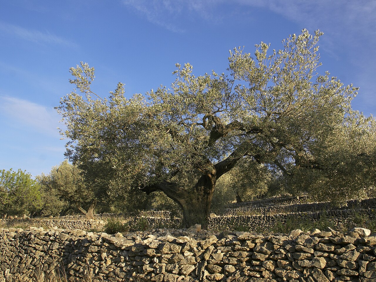 Olive treeOlive tree · 1.1 mi
 Kilpoole BeachBeach / strand · 1.5 mi
 Church (in Ruins), G. Yd.Church · 1.5 mi
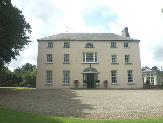 Ballymoney Housecountry house · 1.6 mi
 Magheramore BeachBeach / strand · 1.6 mi
 Glen Beach Cliff WalkWalking route · 2.4 mi
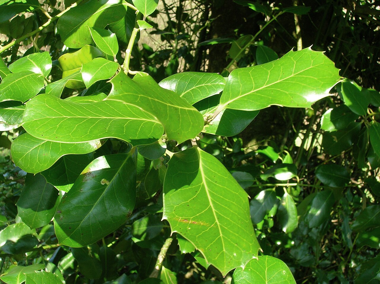 Highclere hollyHighclere holly · 2.4 mi
 Black Castle (in ruin)Castle, Anglo-Norman masonry castle · 2.6 mi
 Round MountCastle, motte · 2.7 mi
 Carrick MountainMountain / peak · 5.4 mi
Other information
Photo: Credit not shown in the picture search · Rights wording not checked; contact us if this picture should be removed