
What is recorded here
Visible as a large circular enclosure (diam. c. 90m) defined by relict stone walls on vertical aerial photographs (GSIAP: M 597-6) and situated on a rise in an undulating landscape. It is overlain by relict field walls (RO047-056002-) which pre-date the current strip fields but which are also marked on the 1915 ed. of the OS 6-inch map. The area is now reclaimed and no feature is visible at ground level in reclaimed pasture, although it is known locally that bones were uncovered there and what may have been a font or bullaun stone was discovered at the time of the reclamation but this stone is since lost.
Compiled by: Michael Moore
Date of upload: 24 August 2010
The monument record does not grant public access. Check the route and ask the landowner before entering private land.
- What survives
- Recorded monument
Places near here
 RoadRoad, road/trackway · 1016 yd
 CastleCastle, unclassified · 1130 yd
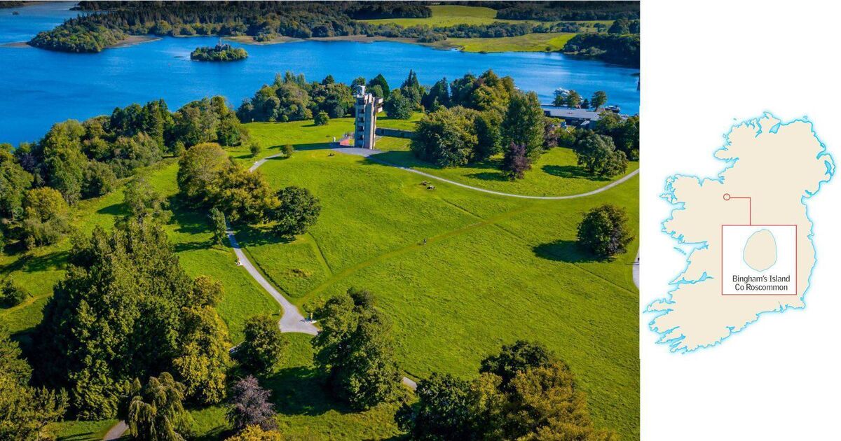 Embanked enclosureFairy fort / earthen ringfort · 1152 yd
 Sweathouse in CarrowntarriffSweathouse · 1307 yd
 Church (in Ruins)Church · 1.1 mi
 Inch IslandIsland · 2.5 mi
 Killeglan CastleCastle, unclassified · 2.8 mi
 InchnagowerIslet · 2.8 mi
 Sheep HillMountain / peak · 3.3 mi
 LismoneyForest · 5.3 mi
 European ashEuropean ash · 7.6 mi
 Mount MaryMountain / peak · 11 mi
Other information
Photo: Credit not shown in the picture search · Rights wording not checked; contact us if this picture should be removed