What is recorded here
On a level landscape. The church (RO053-005001-) and graveyard (RO053-005002-) are within a subcircular grass-covered enclosure (dims 68m E-W; 60.5m N-S), which is depicted as a tree-ring on the 1837 ed. of the OS 6-inch map. The enclosure is defined by a stone spread (Wth 2.4-5.7m; int. H 0.1-0.8m; ext. H 0.2-1.1m), with facing-stones (original Wth 1.7m) visible at S.
Compiled by: Michael Moore
Date of upload: 24 August 2010
The monument record does not grant public access. Check the route and ask the landowner before entering private land.
- What survives
- Recorded monument
Places near here
 Thomastown ChurchChurch · 13 yd
 Liberty CastleCastle, unclassified · 1635 yd
 Embanked enclosureFairy fort / stone ringfort · 1.6 mi
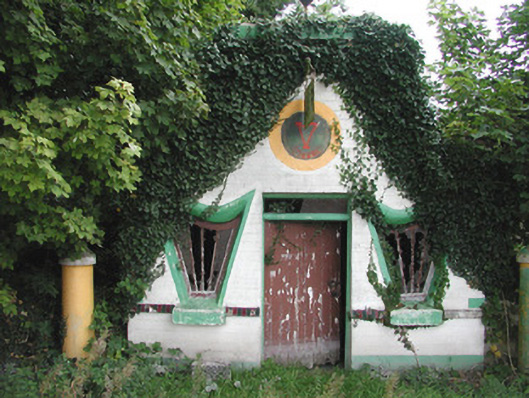 Millar's Harp Houseshop/retail outlet · 1.7 mi
 Castle QuarterCastle, unclassified · 1.9 mi
 IndicatedFairy fort / stone ringfort · 2.1 mi
 ClonmacnoiseMuseum · 4.6 mi
 Graveyard in ClonmacnoiseGraveyard · 4.6 mi
 HawthornHawthorn · 4.6 mi
 Sheep HillMountain / peak · 4.7 mi
 Devenish IslandIsland · 4.8 mi
 Split HillMountain / peak · 4.9 mi