What is recorded here
No surface remains visible of any archaeological monument in the area marked on the OS 6-inch map. A large quarry pit is located in the area marked on the OS 6-inch map. Depicted as a possible pond on the 1910 ed. OS 25-inch map. No archaological monument depicted at this location on any edition of the OS 6-inch maps. This feature is also indicated on Larkin's map of 1808. Templeoran House is located 115m to the SSE. Probably a landscaped pond feature associated with Templeoran House.
Compiled by: Caimin O’Brien
Date of upload: 25 July 2013
The monument record does not grant public access. Check the route and ask the landowner before entering private land.
- What survives
- Recorded monument
Places near here
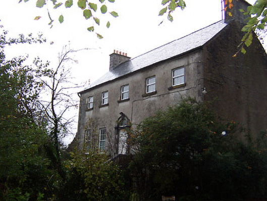 Guilford Housecountry house · 231 yd
 The Glebedemesne walls/gates/railings · 704 yd
 Partially hachuredFairy fort / earthen ringfort · 728 yd
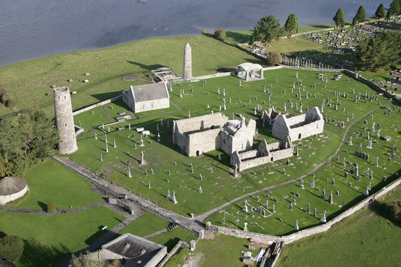 Ecclesiastical enclosure in Clonfad (fartullagh By.)Ecclesiastical enclosure · 1204 yd
 CastleCastle, hall-house · 1575 yd
 Tyrrellspass CastleCastle, tower house · 1.3 mi
 Ardan WoodWood · 3.8 mi
 Bonfire HillMountain / peak · 4.6 mi
 Croghan HillMountain / peak · 6.0 mi
 Finnrenashark Holy WellSpring · 6.1 mi
 Croghan Hill WalkVisitor information · 6.2 mi
 High WoodWood · 7.5 mi