What is recorded here
The fairy fort or earthen ringfort in Tanrego West is in County Sligo, Ireland. It occupies a low rise inside the demesne of Tanrego House and presents a raised circular area measuring 32 metres northeast to southwest and 30.7 metres northwest to southeast. A bank of earth and stone, 5.1 to 5.6 metres wide and 0.5 to 0.8 metres high internally, encloses this space with possible internal kerbing and later drystone walling visible at ground level.
Situated on a low rise in rolling pasture, within the demesne lands of the large Georgian Tanrego House. Marked as a tree-ring on both editions of the OS 6-inch map. Raised circular area (32m NE-SW; 30.7m NW-SE) enclosed by a bank of earth and stone (Wth 5.1-5.6m; int. H 0.5-0.8m) with remains of possible internal kerbing. The remains of drystone walling, probably a later addition, is visible at ground level. No fosse is evident. Breaks in bank at S (Wth 2m), E (Wth 0.8m) and NNE (Wth 1.5m). This landscape feature may conceivably be an adaptation of a pre-existing rath.
Compiled by: Patrick F. O'Donovan
Date of upload: 19 January 2011
The monument record does not grant public access. Check the route and ask the landowner before entering private land.
- What survives
- Recorded monument
Places near here
 Bawn in Tanrego WestBawn · 280 yd
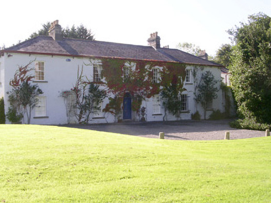 Tanrego Househouse · 293 yd
 Enclosure in Tanrego WestEnclosure · 434 yd
 IndicatedFairy fort / earthen ringfort · 538 yd
 Carrowgarry Househouse · 572 yd
 Derinch PointHeadland · 1.1 mi
 Lahanacappul IslandIslet · 1.2 mi
 Ballinlig PointHeadland · 1.3 mi
 Giant's GraveArchaeological place · 1.5 mi
 CastleCastle, ringwork · 1.6 mi
 CulleenamoreBeach / strand · 2.0 mi
 European ashEuropean ash · 2.1 mi