What is recorded here
Indicated is a barrow, unclassified in Tanrego West, County Sligo, Ireland. The site stood on a low rise and appeared as a small circular enclosure on the 1837 Ordnance Survey map. A 1994 report measured a nine-metre circular platform with a possible one-metre bank, part of which formed the boundary between Tanrego West and Carrownacreevy. The monument has since been levelled, leaving no visible remains at ground level.
Situated on a low rise. Depicted on the 1837 edition of the OS 6-inch map as a small circular enclosure. A 1994 field report (SMR file) described a circular platform (diam. 9m; H 1.35 at N, 1.55m at S) defined by a scarp with traces of a possible bank (Wth 1m) at its upper edge at S. From WSW-NE the perimeter was incorporated into a field boundary which marks the boundary between Tanrego West and Carrownacreevy townlands. No fosse was evident. The monument has since been levelled/destroyed and there are no remains now visible at ground level.
Compiled by: Patrick F. O'Donovan
Date of upload: 19 January 2011
A circular platform tomb, likely dating to the Bronze Age. Its construction and positioning suggest ritual or ceremonial significance, typical of funerary monuments from this period.
The monument record does not grant public access. Check the route and ask the landowner before entering private land.
- What survives
- Recorded monument
Places near here
 Enclosure in Carrowkeel (tireragh By.)Enclosure · 501 yd
 Carrowgarry Househouse · 594 yd
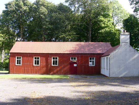 The Hallcommunity centre · 628 yd
 Enclosure in LisnarawerEnclosure · 785 yd
 Bawn in Tanrego WestBawn · 1384 yd
 Giant's GraveArchaeological place · 1689 yd
 Lahanacappul IslandIslet · 1.2 mi
 Ballinlig PointHeadland · 1.4 mi
 CastleCastle, ringwork · 1.4 mi
 European ashEuropean ash · 1.5 mi
 Portavaud PointHeadland · 1.6 mi
 Pigeonpark WoodForest · 1.8 mi