What is recorded here
The fairy fort or earthen ringfort in Streamstown (leyny By., Streamstown Ed) is in County Sligo, Ireland. It occupies a low rise on the lower southeast-facing slope of a ridge. A four-metre-wide earthen bank encloses a circular area twenty-four metres across, while a shallow external ditch marks the northwest edge. A kinked internal bank crosses the centre on a northwest-southeast axis.
In pasture, on a low rise on the lower SE-facing slope of a ridge. A raised circular area (24m N-S) defined by an earthen bank (Wth 4m; int. H 0.5m; ext. H 1.1m) SE-NNW and by a bank topped with a hedgerow and incorporated into a field boundary NNW-SE. An external fosse (Wth 5.6m: D 0.4m) is evident along the NW arc. A low earthen bank, kinked midway along its length, crosses the interior on a roughly NW-SE axis.
The above description is derived from the published 'Archaeological Inventory of County Sligo' compiled by Ursula Egan, Elizabeth Byrne, Mary Sleeman with Sheila Ronan and Connie Murphy (Dublin Stationery Office, 2005).
Date of upload: 18 January 2008
The monument record does not grant public access. Check the route and ask the landowner before entering private land.
- What survives
- Recorded monument
Places near here
 Indicated (1838).Fairy fort / earthen ringfort · 380 yd
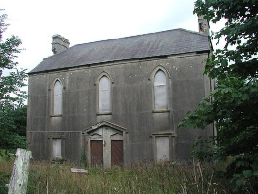 Achonry Parochial Hallchurch hall/parish hall · 784 yd
 CaveMan-made underground passage · 1112 yd
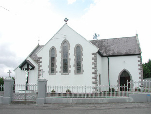 Catholic Church of the Sacred Heartchurch/chapel · 1642 yd
 CastleCastle, unclassified · 1.0 mi
 Muckelty HillMountain / peak · 1.2 mi
 KnocknasheeMountain / peak · 1.8 mi
 European ashEuropean ash · 3.6 mi
 Castle (in Ruins)Castle, tower house · 3.7 mi
 ElderElder · 3.8 mi
 The Turf Stack RockNamed rock · 5.9 mi
 Old Cave Burial GroundArchaeological place · 7.3 mi
Other information
Photo: Credit not shown in the picture search · Rights wording not checked; contact us if this picture should be removed