What is recorded here
On a steep-sided hillock in grassland, formerly demesne land. A small almost circular enclosure (E-W 14m, N-S 13m), in fair condition, defined by an earthen bank (H 1.2m ext., Wth 0.8m) except at SE where a scarp forms the enclosing element. A number of tree stumps are visible on the line of the bank. Probably a tree-ring but the morphology and siting are striking.
The above description is derived from the published 'Archaeological Inventory of County Galway Vol. II - North Galway'. Compiled by Olive Alcock, Kathy de hÓra and Paul Gosling (Dublin: Stationery Office, 1999).
Date of upload: 05 August 2010
The monument record does not grant public access. Check the route and ask the landowner before entering private land.
- What survives
- Recorded monument
Places near here
 Enclosure in StreamsfordEnclosure · 729 yd
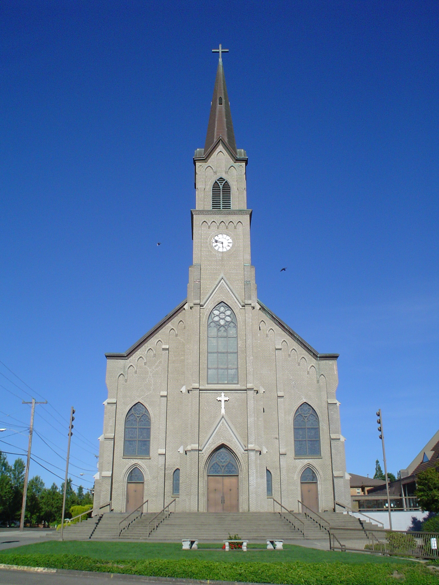 St. Marys Catholic ChurchChurch · 787 yd
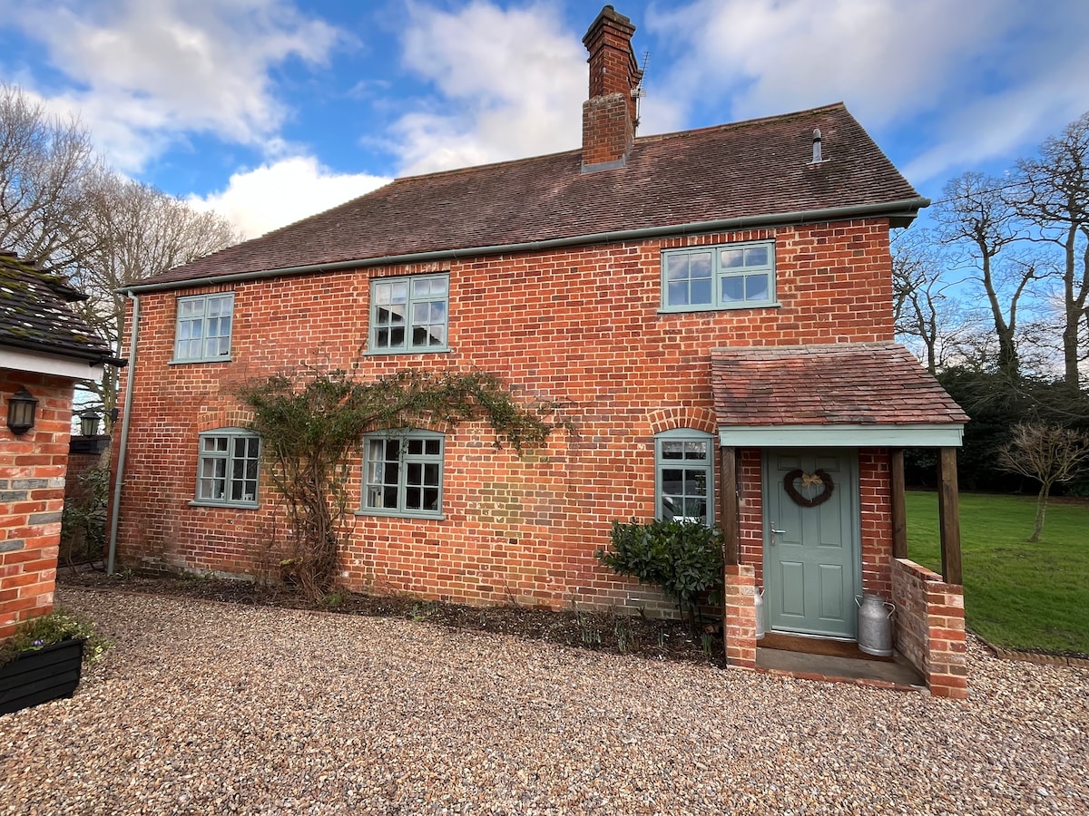 Enclosure in Beech HillEnclosure · 960 yd
 Beech Hillcountry house · 1303 yd
 Woodlawn WoodsForest · 2.2 mi
 European Crab AppleEuropean Crab Apple · 2.5 mi
 Site of Lisnamoltaun CastleCastle, unclassified · 4.0 mi
 CastleCastle, unclassified · 4.2 mi
 Turoe StoneHeritage attraction · 5.0 mi
 Kilconnell AbbeyHeritage attraction · 6.1 mi
 Menlough IRAMemorial · 6.8 mi
 Barrack IslandIslet · 8.9 mi