What is recorded here
Situated on wet marshy land on steep S facing slope of rising ground in mountainous region with stream immediately to the E. Depicted as an oval shaped enclosure (int. diam. 14m N-S; 8m E-W) on latest ed. OS 6-inch map. Present remains consist of a sub-rectangular shaped area defined by a heather-covered drystone wall (H 0.9m ; T 0.8m) which apprears to have been extended or rebuilt on the S half of the enclosure as there is a change in the appearance or the construction of the enclosing stone wall along the S half of the W side of the enclosure and along the whole of the S side, this later wall appears to be connected with a post-1700 AD field wall which intersects the enclosure at the SW angle. The small stream which acts as a townland boundary intersects the site on the E side of the enclosure and has resulted in the collapse of the outer face of the enclosing element of the enclosure on this side. It is possible that this may be a pre-1700 enclosure that was later converted and rebuilt as a sheepfold with accompanying field wall in the post-1700 AD period.
Compiled by: Caimin O'Brien
Date of upload/revision: : 19 July 2010
The monument record does not grant public access. Check the route and ask the landowner before entering private land.
- What survives
- Recorded monument
Places near here
 CastleCastle, unclassified · 241 yd
 Droichead Cró na Saileachbridge · 596 yd
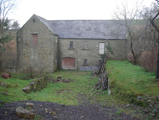 Muileann Arbhair Leitirmill (water) · 1647 yd
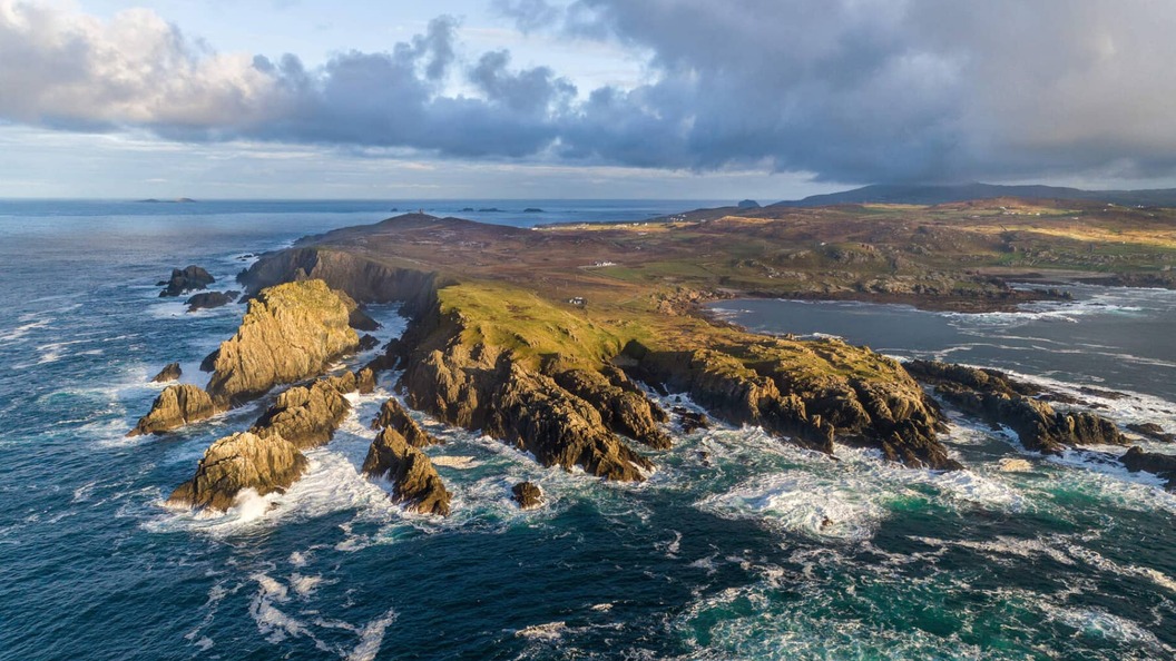 Leacht in Caiseal CharnaLeacht · 1733 yd
 Dermot & Grania's BedArchaeological place · 1.0 mi
 CroaghmuckrosMountain / peak · 1.7 mi
 TrabaneBeach / strand · 2.0 mi
 TraloarBeach / strand · 2.0 mi
 CrownaradMountain / peak · 2.4 mi
 Dundawoona Point / Pointe an DúinHeadland · 3.0 mi
 Cliffs at TeelinPublicly named cliff or headland · 3.2 mi
 Bawn in KillybegsBawn · 4.5 mi