
What is recorded here
Indicated is a vanished rath on a Mayo ridge where a curving scarp still marks half its circle. The other half has been levelled into pasture, leaving only a faint undulation for the eye to catch. It stands among other lost enclosures, remembered more by absence than by stone.
In average pasture, adjacent to the townland boundaries at the NW corner of the townland, located on a ridge, with extensive views especially to SE and to W where there is a natural fall of ground.
This rath is shown on the 1838 and 1922 OS 6-inch maps as a circular enclosure (diam. 25-30m), incorporated into a field boundary on its NE arc. It has been levelled, but the NE half of its original circuit is preserved in a curving, overgrowth-covered scarp (H 1.2m), which now serving as a property fence. A barely discernible undulation curving S–NW is all that is evident of the SW half of the rath.
There is a rath (MA038-082----) c. 90m to NNE, and a possible rath (MA038-084----) c. 150m to SSW.
Compiled by: Jane O'Shaughnessy
Date of upload: 1 August 2019
The monument record does not grant public access. Check the route and ask the landowner before entering private land.
- What survives
- Recorded monument
Places near here
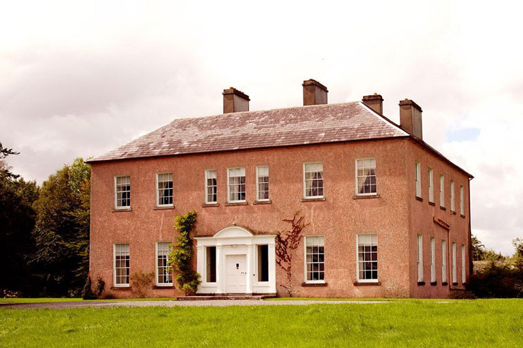 Enclosure in Castlehill (tirawley By., Crossmolina. Par.)Enclosure · 592 yd
 LisheenFairy fort / earthen ringfort · 755 yd
 Church in ruinsChurch · 1524 yd
 Catholic Church of Our Ladychurch/chapel · 1546 yd
 RathmoreCastle, motte · 1.2 mi
 Ballyduffy CastleCastle, unclassified · 1.3 mi
 Grave of the KingsArchaeological place · 1.5 mi
 Castle IslandIslet · 2.0 mi
 Titanic Memorial ParkMemorial · 2.2 mi
 Roe IslandIslet · 2.3 mi
 NephinMountain / peak · 3.5 mi
 KnockaffertaghMountain / peak · 7.0 mi
Other information
Photo: Credit not shown in the picture search · Rights wording not checked; contact us if this picture should be removed