
What is recorded here
Situated towards the bottom of a gentle N-facing slope c. 100m S of a WNW-ESE section of the Blackwater River. It is described as a 'fort', although not depicted, on the 1835 edition of the OS 6-inch map. This is a circular overgrown area (diam. 31m NW-SE; 29m NE-SW) defined by an earthen bank (Wth 1-2m; H 1m), which is incorporated into a field bank E-S-N but reduced to a scarp (H 0.5m) elsewhere. There is no visible fosse and an original entrance is not identified.
The above description is derived from 'The Archaeological Inventory of County Leitrim' compiled by Michael J. Moore (Dublin: Stationery Office, 2003). In certain instances the entries have been revised and updated in the light of recent research.
Date of upload: 23 September 2008
A local fairy fort (ringfort/rath); wider significance not recorded.
The monument record does not grant public access. Check the route and ask the landowner before entering private land.
- What survives
- Recorded monument
Places near here
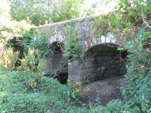 Bonebrook Bridgebridge · 1127 yd
 LisroughtyFairy fort / earthen ringfort · 1677 yd
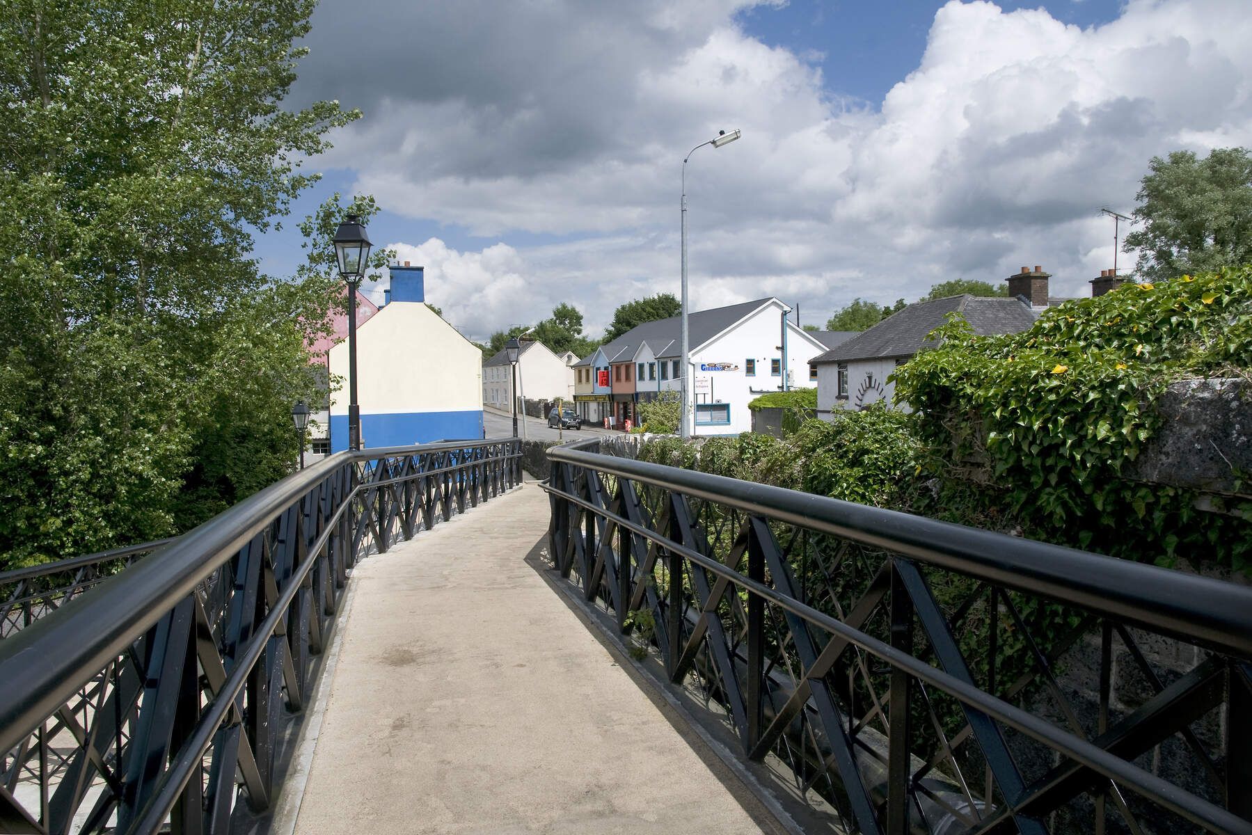 DerrinivverMountain / peak · 1.1 mi
 Cornagunleog ForestForest · 1.2 mi
 LisgruddyFairy fort / earthen ringfort · 1.4 mi
 DrumgownaghMountain / peak · 1.4 mi
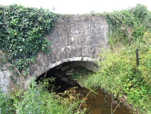 County Bridgebridge · 1.5 mi
 Owengallees WoodlandForest · 1.8 mi
 Saint Mogue's IslandIslet · 3.0 mi
 Giants GraveArchaeological place · 3.2 mi
 CastleCastle, ringwork · 3.4 mi
 Prospect BayBay · 3.4 mi
Other information
Photo: Credit not shown in the picture search · Rights wording not checked; contact us if this picture should be removed