What is recorded here
In pasture, located on a rise, in an area of mixed rough pasture and bog.
Circular area (diam. 16m) defined by sod-covered stone bank/wall (W 2.7; int. H 0.3m; ext. H 0.4m). The stone bank, which is incorporated into a field fence on the SE arc, is low and degraded. At NW it has a broader external slump, possibly resulting from an accumulation of field clearance stones. There are breaks at NNE (W 1.5m) and NE (W 4m). A break (W 3.2m) to E is now blocked by the field fence. In the interior to S is an oval-shaped, grassed-over depression (4m NE-SW; 3m NW-SE; D 0.5m). Conifers have been planted along the line of the field fence.
Compiled by: Jane O'Shaughnessy
Date of upload: 6 August 2019
The monument record does not grant public access. Check the route and ask the landowner before entering private land.
- What survives
- Recorded monument
Places near here
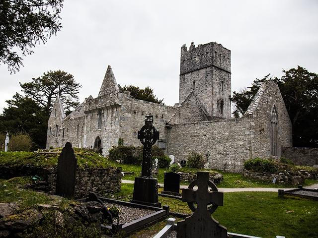 Enclosure in KillacorraunEnclosure · 654 yd
 Enclosure in SrahyconigaunEnclosure · 818 yd
 RathmoreCastle, motte · 1.6 mi
 Grave of the KingsArchaeological place · 2.1 mi
 Catholic Church of Our Ladychurch/chapel · 2.1 mi
 Church in ruinsChurch · 2.1 mi
 Ballyduffy CastleCastle, unclassified · 2.4 mi
 NephinMountain / peak · 2.9 mi
 Titanic Memorial ParkMemorial · 3.1 mi
 Castle IslandIslet · 4.2 mi
 Roe IslandIslet · 4.5 mi
 KnockaffertaghMountain / peak · 5.4 mi