What is recorded here
In a low-lying, wet area with a small W-E stream c. 10m to the S and c. 450m from the S shore of Lough Melvin to the N and E. This is a grass and reed-covered D-shaped area (dims 29m N-S; 26.5m E-W) defined by a scarp (H 0.35m at SW to 1m at NW) and slight traces of a fosse, but it is truncated by a N-S field bank and townland boundary with Sragarve at W.
The above description is derived from 'The Archaeological Inventory of County Leitrim' compiled by Michael J. Moore (Dublin: Stationery Office, 2003). In certain instances the entries have been revised and updated in the light of recent research.
Date of upload: 23 September 2008
The monument record does not grant public access. Check the route and ask the landowner before entering private land.
- What survives
- Recorded monument
Places near here
 Mass-rock in Sracummer (rosclogher By.)Mass-rock · 917 yd
 IndicatedFairy fort / stone ringfort · 976 yd
 Church (in Ruins)Church · 1108 yd
 InishtempleIslet · 1181 yd
 InishmeanIslet · 1728 yd
 Conwal NorthMountain / peak · 1.3 mi
 Rosfriar PointHeadland · 2.0 mi
 Giant's GraveArchaeological place · 2.1 mi
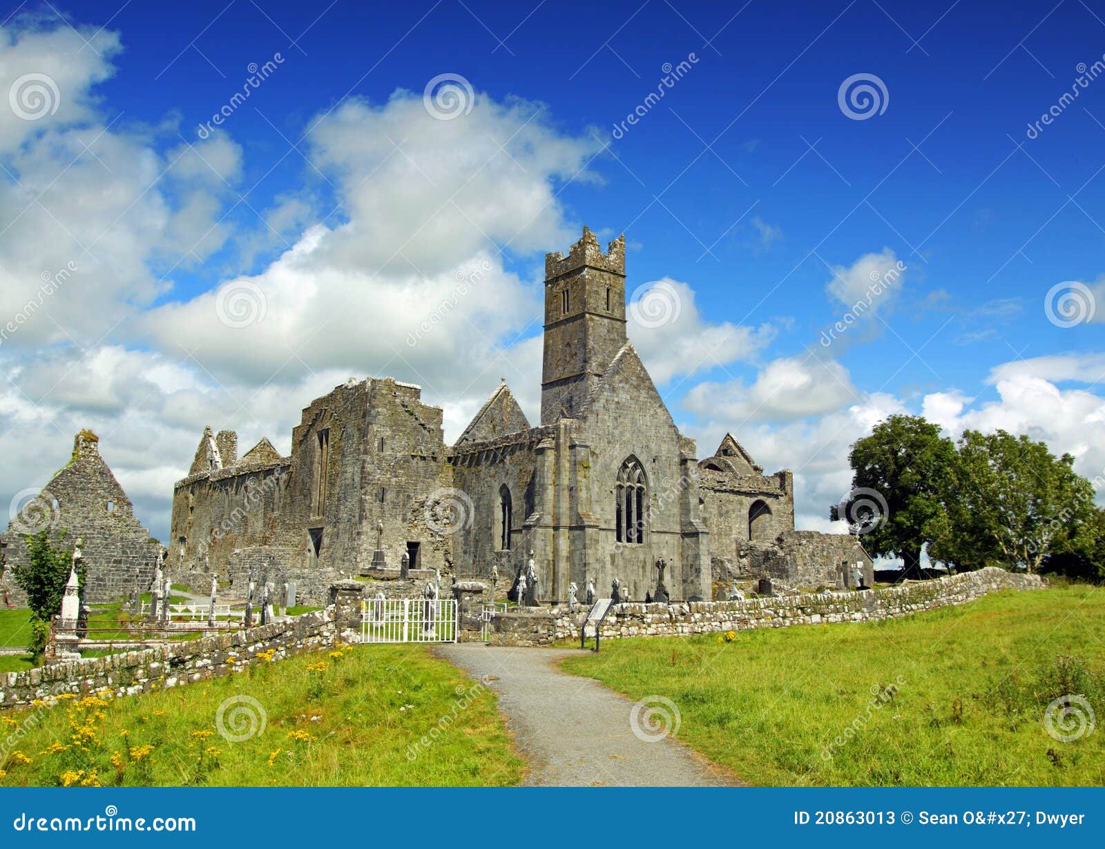 AbbeyChurch · 2.1 mi
 CastleCastle, tower house · 2.1 mi
 Lareen BayBay · 2.3 mi
 Arroo MountainMountain / peak · 2.7 mi