What is recorded here
In flat pasture abutting the townland boundary with Coolybrown. Located 290m SE of a ringfort (LI028-058----). The site is depicted as a circular enclosure on the 1840 ed. OSi 6-inch map. Not shown on the 1897 ed. OSi 25-inch map. The site is visible on the OSi orthoimage taken 2005-12 and on Digital Globe orthoimages taken 2011-2013. Monument inspected by the ASI in 2007 and described as consisting of a roughly circular area (dims. 20m NE-SW; 18m NW-SE) defined by remains of levelled bank reduced to scarp (Wth 4.5m; H 0.4m) and shallow fosse (basal Wth 1m; overall Wth 7.5m; D 0.15m) truncated by a stream and field boundary from N-NE. Interior level and incorporated into rest of field as pasture. Sinuous gullies around exterior of monument caused by overflow from stream. A series of relic field enclosures (ext. dims. c. 27m N-S; 34m E-W) abut the SSE side of the enclosure and are visible on the aerial orthoimages. The monument is visible on the Google Earth orthoimage taken 29/03/2012 and 08/04/2015.
See attached ASI sketch plan, photographs and Google Earth orthoimages
Compiled by: Edmond O’Donovan
Date of upload: 24 September 2020
The monument record does not grant public access. Check the route and ask the landowner before entering private land.
- What survives
- Recorded monument
Places near here
 Elm Hillcountry house · 648 yd
 Grave YardGraveyard · 922 yd
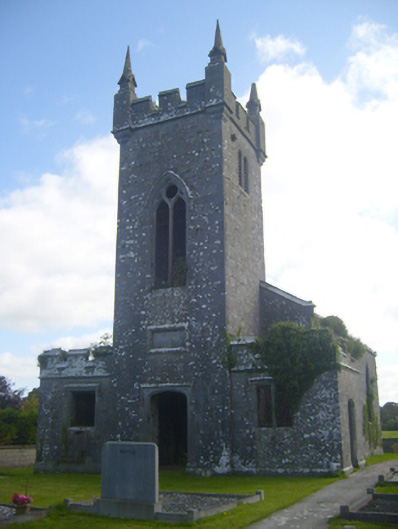 Kilscannell Churchchurch/chapel · 930 yd
 St. Kieran's WellSpring · 1300 yd
 St. Kierans WellHoly well · 1307 yd
 St. Luke's WellSpring · 1.2 mi
 CahermoyleCastle, unclassified · 1.4 mi
 Bawn in Lisnacullia (connello Lower By.)Bawn · 1.7 mi
 European ashEuropean ash · 2.9 mi
 Limerick GreenwayWalking route · 6.3 mi
 Sugar HillMountain / peak · 7.9 mi
 Gammarel PointHeadland · 8.5 mi