What is recorded here
Indicated is a moss-choked stone ring on a Clare ridge, its entrance hidden and its purpose diminished to a possible livestock pen. The forgoes the grandeur of a castle or the clarity of a temple, leaving behind only a vague circular shadow in the pasture. It is a place of subtraction, where time has not added meaning but removed it until only shape remains.
On a gentle N-facing slope at the N-end of a low, narrow, NE-SW ridge, in rough pasture. A very poorly preserved, roughly circular, cashel (29m E-W; 28m N-S) is defined by a low, moss-covered stone spread (W 2.5m-3m; max. H 0.4m) with occasional outer facing stones which have been partially rebuilt (max. H 0.8m). There is no obvious original entrance and a gap at SSW (W 2.1m) appears modern and may be associated with the remains of a small, roughly square enclosure (min. L c. 6.5m; min. Wth c. 6.6m) formed by remains of two stone walls radiating off the inner face of the cashel wall in the SW sector. Of uncertain antiquity, this small, internal enclosure is recorded on the OS 25-inch map but may have functioned as a livestock pen?
Compiled by: Gearóid Conroy and Ros Ó Maoldúin
Date of upload: 11 January 2023
The monument record does not grant public access. Check the route and ask the landowner before entering private land.
- What survives
- Recorded monument
Places near here
 CaherscreebeenFairy fort / stone ringfort · 563 yd
 Dermot & Grania's BedArchaeological place · 577 yd
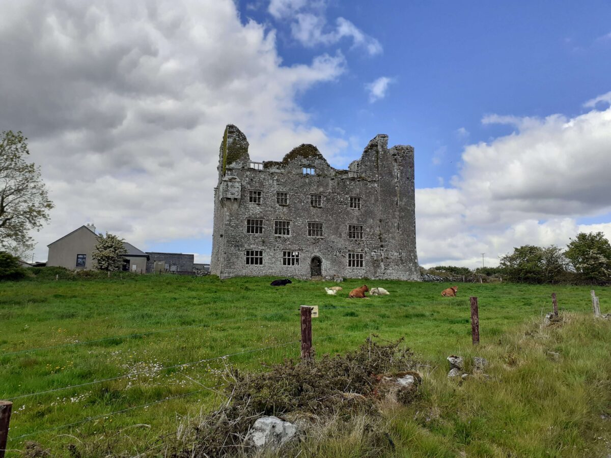
 Leamaneh CastleCastle · 670 yd
 Leamaneh Castle (in ruins)House, fortified house · 670 yd
 Fergus River CaveCave · 1.5 mi
 Templeline (in ruins)Church · 1.8 mi
 Farbrega RockNamed rock · 1.9 mi
 Kiltoraght Church (in ruins)Church · 1.9 mi
 Burren Centre KilfenoraVisitor information · 3.2 mi
 High CrossHeritage attraction · 3.3 mi
 Cave of the Wild HorsesCave · 3.3 mi
 CaherconnellHeritage attraction · 3.3 mi